What is recorded here
Situated in the NW portion of Cahermacnaghten cashel (CL009-001010-). The grass-covered foundations of a small building aligned E-W (ext. L 9.9m E-W; 4.9m E-W) are represented by the W wall and the walls of a room at the E end (int. dims. 3.55m N-S; c. 1.5m E-W). Another house (CL009-001050-) is 3m to the E and the remains of three other houses (CL009-001051-, CL009-001012, and CL009-001052-) lie inside the S perimeter. The houses within the cashel were divided between Aodh and Cosnamhach Ó Dabhoireann in 1606 and the deed also mentions that the houses had been the property of their grandfather (FitzPatrick 2008, 59). Caher Mhic Neachtain is a National Monument in State Care, no. 354.
Compiled by: Mary Tunney
Date of upload: 17 July 2018
The monument record does not grant public access. Check the route and ask the landowner before entering private land.
- What survives
- Recorded monument
Places near here
 Cahermacnaghten CashelHeritage attraction · 12 yd
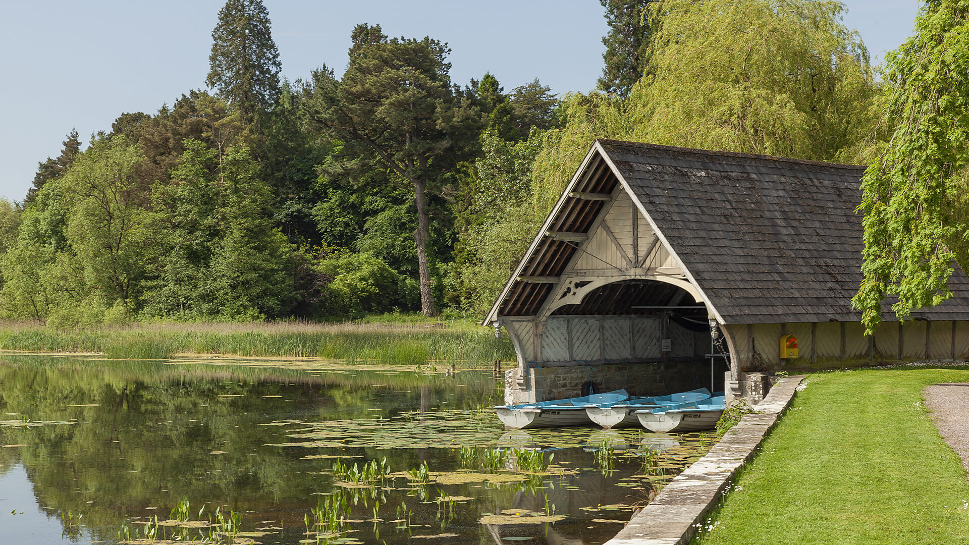 Enclosure in LissylisheenEnclosure · 405 yd
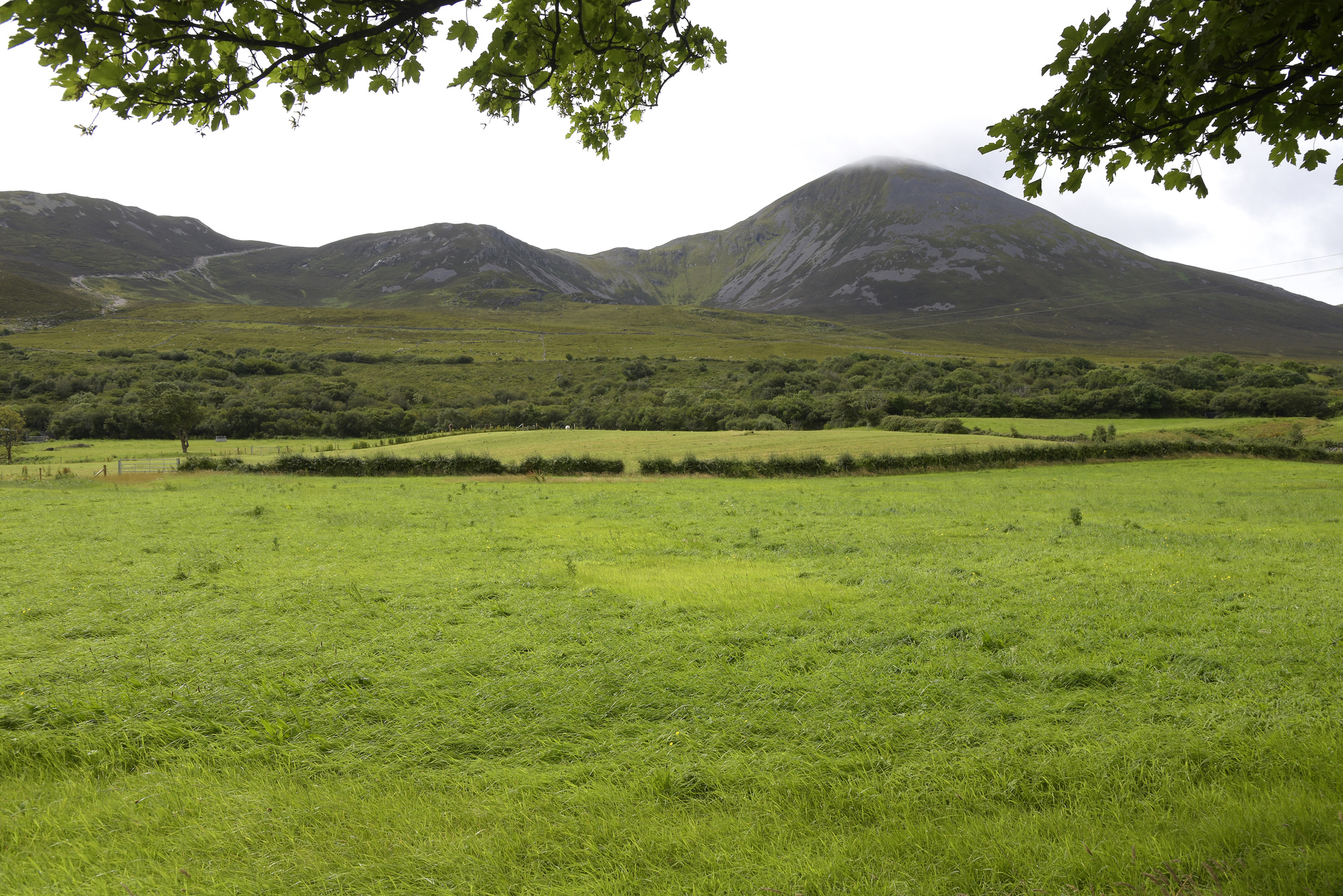 Enclosure in Croagh SouthEnclosure · 557 yd
 Cullaun 5 (C5b)Cave · 1421 yd
 Site of Binroe CastleCastle, unclassified · 1521 yd
 Cullaun 5 (C5)Cave · 1596 yd
 Site of Ballymurphy CastleCastle, tower house · 1.3 mi
 Penitential station in CahermakerrilaPenitential station · 1.5 mi
 Killeany Church in ruinsChurch · 2.0 mi
 Ballyteigue Nature ReserveNature reserve · 3.1 mi
 High CrossHeritage attraction · 3.9 mi
 Slieve ElvaMountain / peak · 3.9 mi