What is recorded here
Ballygarvey and Trimmer were held by the service of half a knight’s fee by Phillip de Owemell in 1247 from the Valency estate but in 1324 the fee was held by the prior of St. John’s Augustinian church in Kilkenny city (Brooks 1950, 107). Land at Tromer (Trimmer) was held by Walter Talbot from St. John’s at the Suppression in 1540 as well as land at Ballygarvey, Byttyes (Brittas) and Ballycorboys, all in Kilscoran parish (White 1943, 180). Nicholas White of Tromer was accounted one of the gentlemen of the barony in 1608, and at the time of his death in 1633 he held 90 acres there from Kilkenny Corporation. This was inherited by his grandson, Simon (Jeffrey 1979 41-2). According to the Book of Survey and Distribution (1660s) Nicholas White owned 80 acres at Tromer (1) in 1640 (Simington 1953, 304), and the White family held on to Trimmer until 1689 when Nicholas White was attained (Hore 1925, 20). There is no record of a castle at Trimmer but a house is depicted on the Down Survey barony map of Forth (1656-8). For the Down Survey map see this web-page accessed on 5 December, 2013 (http://downsurvey.tcd.ie/down-survey-maps.php#bm=Forth&c=Wexford) The precise location of this house is not known.
Compiled by: Michael Moore
Date of upload: 9 January, 2014
The monument record does not grant public access. Check the route and ask the landowner before entering private land.
- What survives
- Recorded monument
Places near here
 Site of R. C. ChapelChurch · 416 yd
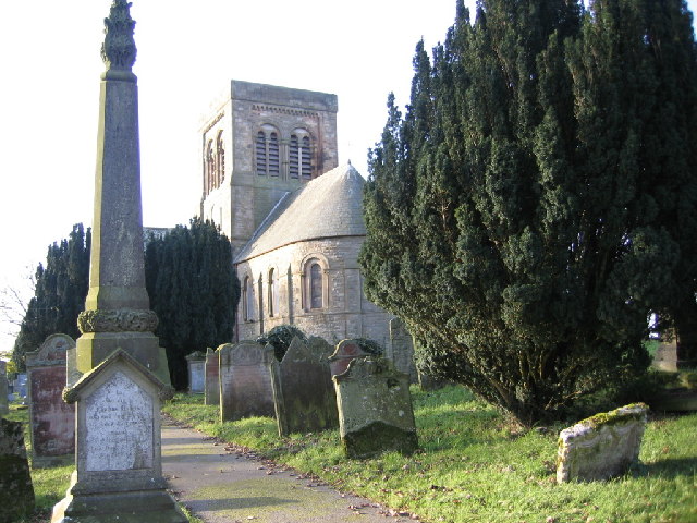 St. Bridgets WellHoly well · 502 yd
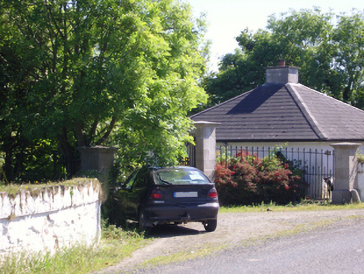 Hill Castlegate lodge · 1301 yd
 Ballyregan Housefarm house · 1301 yd
 CastleCastle, tower house · 1688 yd
 Ballyrane Castle (in ruins)Castle, tower house · 1.5 mi
 Wilson's MoorWood · 2.7 mi
 Marconi HouseMemorial · 2.8 mi
 The Heron's MeadowForest · 3.0 mi
 The HamBay · 3.0 mi
 Sigginstown Island (Great)Island · 3.4 mi
 1798 Memorial PlaqueMemorial · 3.5 mi