What is recorded here
Large two storey farmhouse W of road, occupies approximate site of 17th century dwelling as shown on the Down Survey (1655-6) map. No visible trace of earlier building.
Compiled by: Geraldine Stout
Date of upload: 26 August 2011
This remains an important historical record, but the official description says the monument is no longer visible or has been destroyed. The monument record does not grant public access. Check the route and ask the landowner before entering private land.
- What survives
- No visible remains or recorded as destroyed
Places near here
 TobertownWell · 357 yd
 IndicatedHouse, 16th/17th century · 860 yd
 Enclosure in TobersoolEnclosure · 922 yd
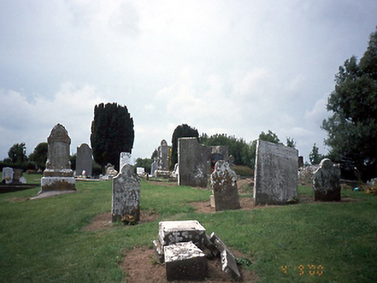 graveyard/cemeterygraveyard/cemetery · 974 yd
 Ballshill PlantingForest · 1.1 mi
 Gormanston CastleCastle · 1.4 mi
 European YewEuropean Yew · 1.4 mi
 Clonard SpringSpring · 1.5 mi
 Bawn in NaulBawn · 2.5 mi
 NaulMemorial · 2.6 mi
 Seamus Ennis Cultural CentreMemorial · 2.6 mi
 KnockbrackMountain / peak · 3.0 mi