What is recorded here
Situated in the NW corner of a bawn (CL017-056----). Depicted as a small square structure on the first edition (1842) of the OS 6-inch map. This poorly preserved rectangular building (int. Wth c. 5.6m E-W; traceable L c. 7.5m N-S) is defined along the W and N by the bawn walls, into which the building appears to have been bonded, but only the bases of the internal E wall (Wth 0.7m) and the S wall (Wth 0.9m) survive. A platform (13m N-S) abutting the S wall, obscures this end of the structure, which may have continued further S. (A partly dotted line on the OS 25-inch plan (1897) indicates a narrow rectangular structure possibly running inside the full length (c. 25m) of the W bawn wall.) The pitch of the N gable is visible rising above the ivy-covered N bawn wall and suggests the house may only have been only been of one storey. There is also a large fireplace in the N wall, with a putlog to its E and a cupboard just to the W (described by Ua Cróinín and Breen (1997) as a loop in a splayed embrasure). In the W wall are two cupboards; one at the N end (Wth at base 0.85m; Wth at top 0.45m: H 1.07m) and a second towards the S end.
Compiled by: Gearóid Conroy and Conn Herriott
Date of upload: 9-10-2025
The monument record does not grant public access. Check the route and ask the landowner before entering private land.
- What survives
- Recorded monument
Places near here
 ‘De Clare’s House (in ruins)’ (1842 )Bawn · 17 yd
 Sheela-na-gig in KillinaboySheela-na-gig · 280 yd
 Kilinaboy Church (in ruins)Church · 285 yd
 Cloigtheach (Round Tower)Round tower · 302 yd
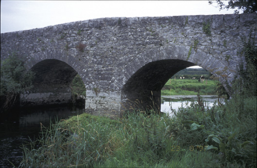 Poplar Bridgebridge · 329 yd
 Castle (in ruins)Castle, tower house · 384 yd
 Inchiquin IslandIslet · 1.1 mi
 Rock IslandIsland · 1.1 mi
 Fergus River CaveCave · 1.2 mi
 Farbrega RockNamed rock · 3.4 mi
 Battle of TullyodeaBattlefield · 3.9 mi
 European ashEuropean ash · 5.2 mi