What is recorded here
Situated W of the monastic complex on the W bank of the River Suir. A rectangular two-storey building (ext. dims 6.63m x 11m; walls 0.6m T), aligned NW-SE, which has been repaired and heavily repointed. The building is entered through a reconstructed doorway at the NW end of the NE wall. The doorway splays internally and has a concrete lintel. There are three windows at ground-floor level, one in the NE wall and two in the SW. At first-floor level there are two windows in the NE wall and two in the SW wall; all are modern rebuilds with later surrounds and lintels. There is a similar window in the NW gable. A millrace, running parallel to the adjacent River Suir, passes the SE gable from which a wooden undershot mill-wheel projects out through an opening c. 0.6m x 0.6m. There is a carved grotesque human head on the external face of the NE wall above the doorway - it appears to be a modern insertion. The Civil Survey (1654-6) refers to 'two or three grinding Mills and a tucking Mill' upon the lands of Holycross (Simington 1934, vol. 1, 64).
The above description is derived from 'The Archaeological Inventory of County Tipperary. Vol. 1 - North Tipperary' compiled by Jean Farrelly and Caimin O'Brien (Dublin: Stationery Office, 2002). In certain instances the entries have been revised and updated in the light of recent research.
Date of upload/revision: 22 September 2008
The monument record does not grant public access. Check the route and ask the landowner before entering private land.
- What survives
- Recorded monument
Places near here
 Glasheen'shouse · 26 yd
 bridgebridge · 36 yd
 Abbey WellHoly well · 107 yd
 Enclosure in GraiguenoeEnclosure · 387 yd
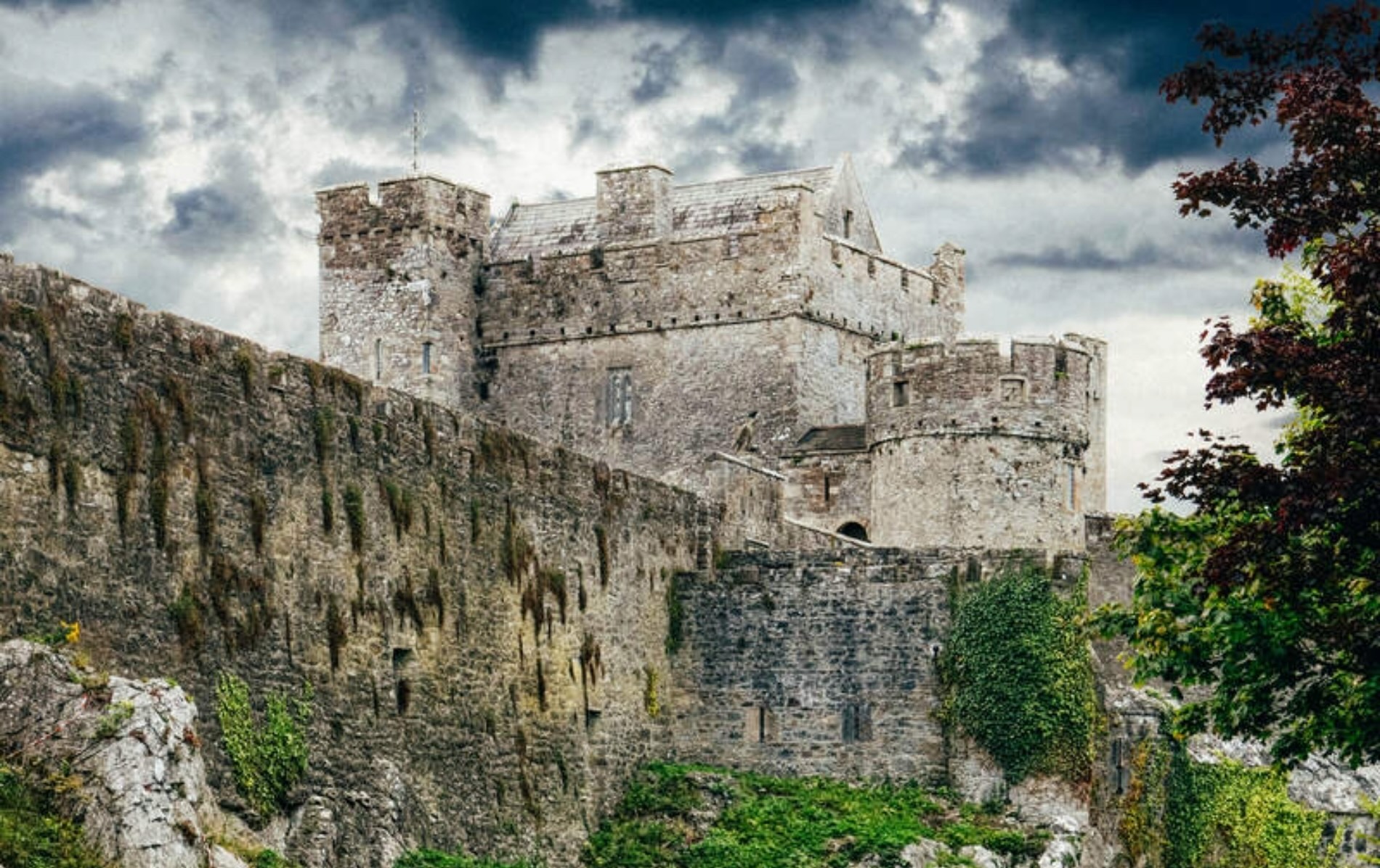 Castle (Site of)Castle, unclassified · 773 yd
 Beakstown HouseCastle, unclassified · 1444 yd
 Cormackstown Heritage CentreMuseum · 1.7 mi
 Killough Hill (site of)Mountain / peak · 2.4 mi
 Wildlife CorridorWood · 2.9 mi
 WoodlandWood · 3.3 mi
 Lár na PáirceMuseum · 3.6 mi
 Clonoulty HillMountain / peak · 4.6 mi