What is recorded here
Drumawark is where a sacred well vanished, leaving behind a broken rotary quern now displayed in the Rossnowlagh Museum. The water hole disappeared from human memory, but the grinding stone survived to prove people once gathered there. They probably ground grain, prayed, or drank before the land took the well back.
The holy well marked on the 1st and 2nd editions of the OS 6-inch maps could not be traced. Nearby was found a portion of a rotary quern now in the Rossnowlagh Museum.
The above description was derived from the 'Archaeological Survey of County Donegal. A description of the field antiquities of the County from the Mesolithic Period to the 17th century.' Compiled by: Brian Lacey with Eamon Cody, Claire Cotter, Judy Cuppage, Noel Dunne, Vincent Hurley, Celie O'Rahilly, Paul Walsh and Seán Ó Nualláin (Lifford: Donegal County Council, 1983). In certain instances the entries have been revised and updated.
Date of upload: 22 September 2008
The monument record does not grant public access. Check the route and ask the landowner before entering private land.
- What survives
- Recorded monument
Places near here
 Iniscilin Bridgebridge · 1313 yd
 bridgebridge · 1643 yd
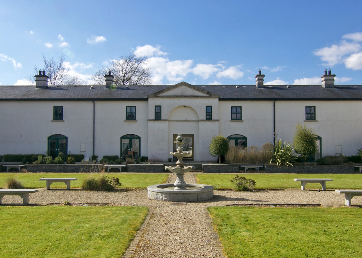 ENCLOSURE in DrumlongfieldENCLOSURE · 1.4 mi
 Cross in Carn (pettigoe Ed)Cross · 1.4 mi
 Grousehall ForestForest · 2.1 mi
 Drumharriff WoodForest recreation place · 2.6 mi
 Boat IslandIsland · 2.6 mi
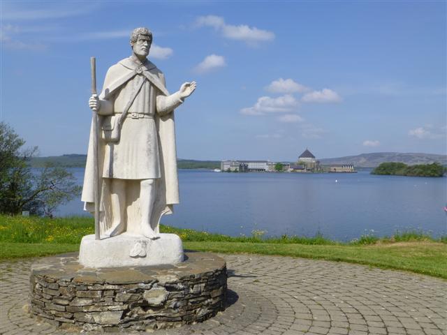 Patrick the PilgrimMemorial · 2.7 mi
 Ash IslandIslet · 2.9 mi
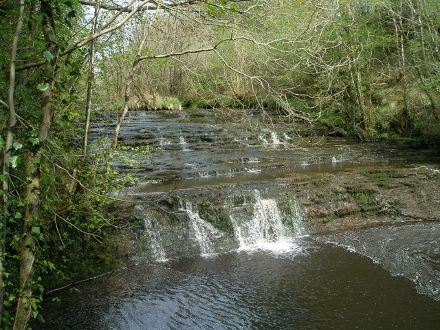 Drummoney WaterfallWaterfall · 3.3 mi
 Castle McGrathCastle · 3.7 mi
 Boa IslandIsland · 4.7 mi