
What is recorded here
Ten paces from the ridge top in Longford pasture, a low ring of earth and stone still marks the barrow. The circular depression on its crown and the vanished entrance suggest people once shaped the land for ceremony or memory, not merely for defense. Cattle graze beside the shallow fosse now, reducing ancient intention to a subtle bump beneath the grass.
A short distance to the SE of the highest point of a prominent, NW-SE drumlin ridge in pasture. Depicted as a circular enclosure with the designation 'Fort' on the 1837 and 1883 eds. of the OS 6-inch map. A low circular mound of earth and stone (diam. 10.8m at base; H 0.4m) encircled by a shallow fosse (Wth 2.9-5.4m; D 0.3-0.45m). From SE-SSE the outer portion of the fosse is occupied by a modern NW-SE field boundary. There is a circular depression (diam. 5.1m; D 0.2m), of unknown significance, on top of the mound. The original entrance is not recognisable.
Compiled by: Patrick F. O'Donovan
Date of upload: 26 August 2011
Round barrow, likely dating to the Early Bronze Age. Its depiction as a 'Fort' on 19th-century maps suggests possible later reinterpretation or secondary use.
The monument record does not grant public access. Check the route and ask the landowner before entering private land.
- What survives
- Recorded monument
Places near here
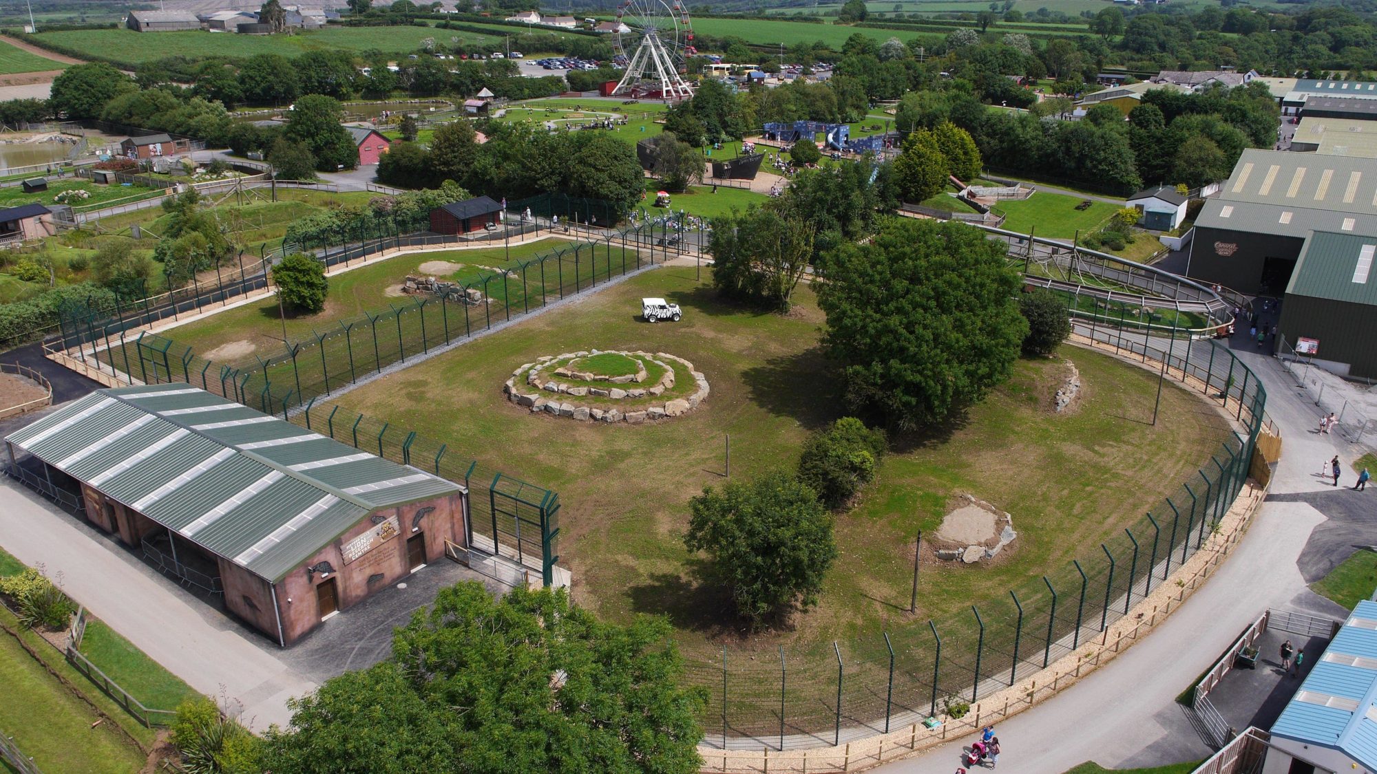 Enclosure in BallymauriceEnclosure · 302 yd
 IndicatedEnclosure · 777 yd
 gates/railings/wallsgates/railings/walls · 805 yd
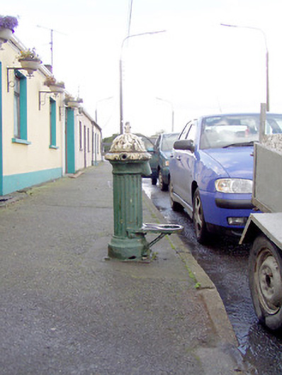 water pumpwater pump · 1085 yd
 Bakers FortCastle, ringwork · 1423 yd
 Moat of GranardCastle, motte and bailey · 1449 yd
 Granard MotteMotte-and-bailey castle remains · 1483 yd
 1798 Monumentmonument · 1492 yd
 CartronfreeMountain / peak · 3.4 mi
 Clonfin Ambush MemorialMemorial · 4.0 mi
 CarrickabaneMountain / peak · 4.2 mi
 Cloonfin WoodForest · 4.5 mi
Other information
Photo: Credit not shown in the picture search · Rights wording not checked; contact us if this picture should be removed