What is recorded here
Indicated is a hidden circular enclosure on a domed hillock at the SW edge of Ballyhaunis, recorded in 1838 but lost from later maps. Gorse and overgrowth still choke the site, blocking the very boundary that once marked the land. The house estates rise beside it now, forcing people to wonder whether the enclosure was a home, a shrine, a boundary or a forgotten claim. What is certain is that the land still holds the shape of a choice made before it disappeared from human memory.
In pasture at the SE corner of a modern rectangular field, located on a hillock. It is on the SW outskirts of Ballyhaunis town and there is a housing estate immediately to NW–N.
A circular embanked enclosure (diam. 15-20m) is shown on the 1838 OS 6-inch map; it is not shown on later map editions. There is a hillock with a slightly domed top (diam. 15-20m) at this location. It is obscured by a dense thicket of gorse and overgrowth and is difficult to examine. When inspected in 1998, no archaeological features could be seen beneath the overgrowth.
Compiled by: Jane O’Shaughnessy
Date of upload: 29 June 2022
The monument record does not grant public access. Check the route and ask the landowner before entering private land.
- What survives
- Recorded monument
Places near here
 Saint Patrick's Catholic Churchpresbytery/parochial/curate's house · 408 yd
 Ballyhaunis Courthousecourt house · 568 yd
 IndicatedEnclosure · 901 yd
 Enclosure in KilmanninEnclosure · 1419 yd
 CastleCastle, unclassified · 2.1 mi
 Ballybooley CastleCastle · 6.9 mi
 Oak WoodForest · 9.7 mi
 Land of the GiantsHeritage attraction · 9.8 mi
 Geoffrey's WoodForest · 11 mi
 Site of Killomaine Grave YardArchaeological place · 15 mi
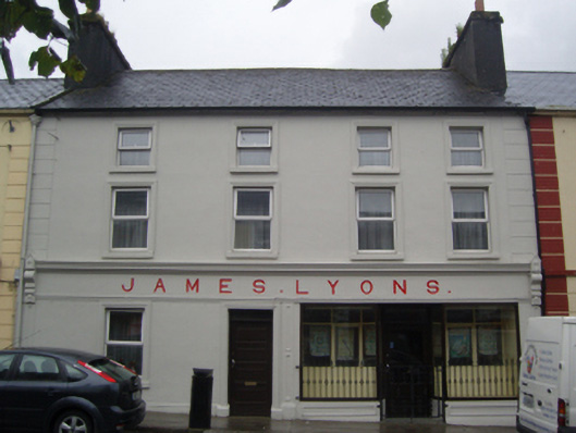 James Lyonshotel · 650 yd
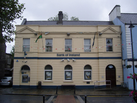 Bank of Irelandbank/financial institution · 716 yd