What is recorded here
In woodland Immediately E of a stream that forms the townland boundary with Maddyboy and approx. 75m E of a public road. The 18th century Clonshavoy House stands 280m to S. The earthwork is depicted as a small rectangular field and not as an antiquity on the 1840 OS 6-inch map. The 1897 OS 25-inch map depicts a raised irregular-shaped area (int. dims. 45m NW-SE, 33m SE-NW) defined by a scarp. The interior has been planted with trees which suggests that this may have been a post-1700 tree-ring, possibly associated with Clonshavoy House. Google Earth orthoimage taken 28/06/2018 shows the tree-covered earthwork delimited by field boundaries at E and W. Doubtful antiquity could be the remains of a landscaped feature associated with Clonshavoy House.
See attached Google Earth orthoimage taken 28/06/2018
Compiled by: Fiona Rooney and Martin Fitzpatrick
Date of upload: 10 June 2020
The monument record does not grant public access. Check the route and ask the landowner before entering private land.
- What survives
- Recorded monument
Places near here
 Clonshavoyhouse · 328 yd
 EnclosureEnclosure, large enclosure · 426 yd
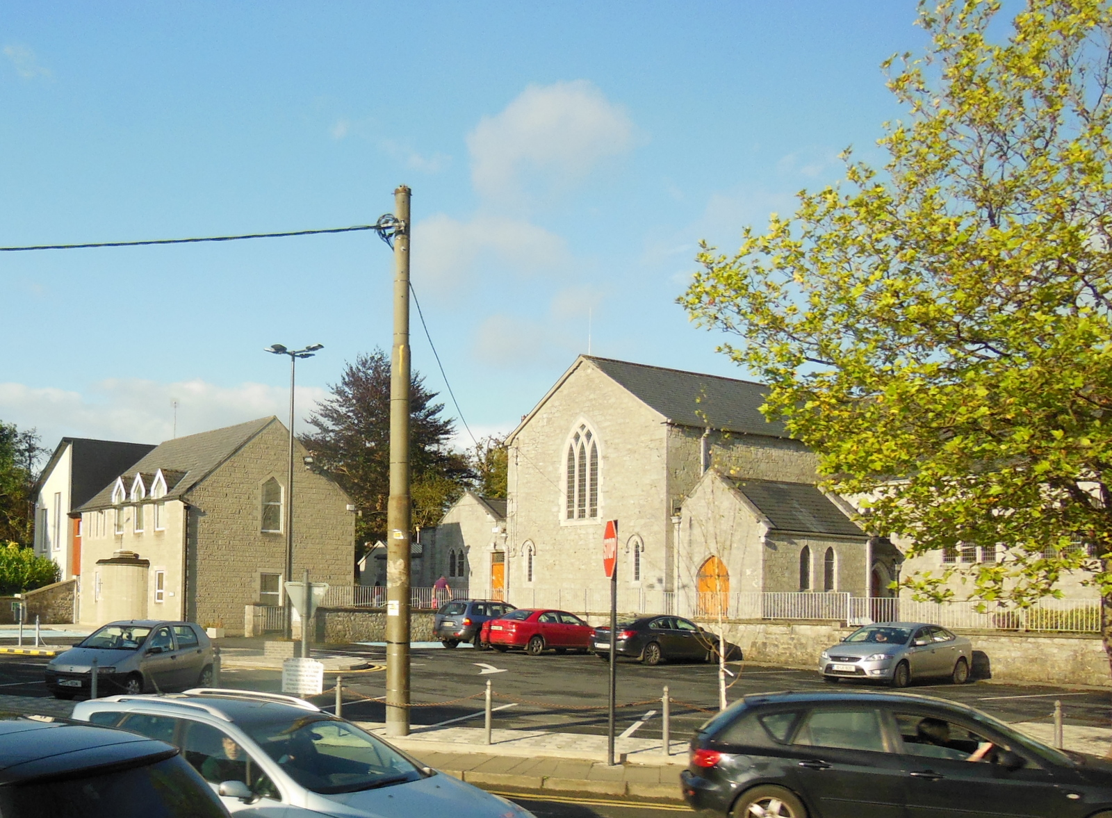 Clonkeen Church (in ruins)Church · 1081 yd
 Grave YardGraveyard · 1660 yd
 CastleCastle, unclassified · 1.4 mi
 Graveyard in AbingtonGraveyard · 1.7 mi
 Sliev Felim WayVisitor information · 2.1 mi
 Bawn in RathBawn · 2.7 mi
 Campus MapVisitor information · 5.2 mi
 KnockseefinMountain / peak · 7.2 mi
 The Pollagh TrailNature reserve · 8.4 mi
 St. Patrick's WellSpring · 8.8 mi