What is recorded here
Monument survives as an oval-shaped field in grassland 160m W of a local road and approx. 170m SW of a stream that forms the townland boundary with Coolnahila. The tree-covered perimeter is intersected by field boundaries at SW, NW, NE and SE. Depicted as a large oval-shaped area enclosed by a bank on the 1840 OS 6-inch map. The 1897 OS 25-inch map depicts a roughly oval shaped area (approx. int. dims. 82m NE-SW x 55m NW-SE) defined by a scarp with spring well 25m to the SE. Google Earth orthoimage taken 2018 shows the monument as an oval-shaped field enclosed by a tree-covered a gap in SE that could be a modern livestock entrance. An external ditch is visible on this image from SE through S to SW.
See attached Google Earth orthoimage taken 28/06/2018
Compiled by: Fiona Rooney and Martin Fitzpatrick
Date of upload: 10 June 2020
A local fairy fort (ringfort/rath); wider significance not recorded.
The monument record does not grant public access. Check the route and ask the landowner before entering private land.
- What survives
- Recorded monument
Places near here
 Clonshavoyhouse · 684 yd
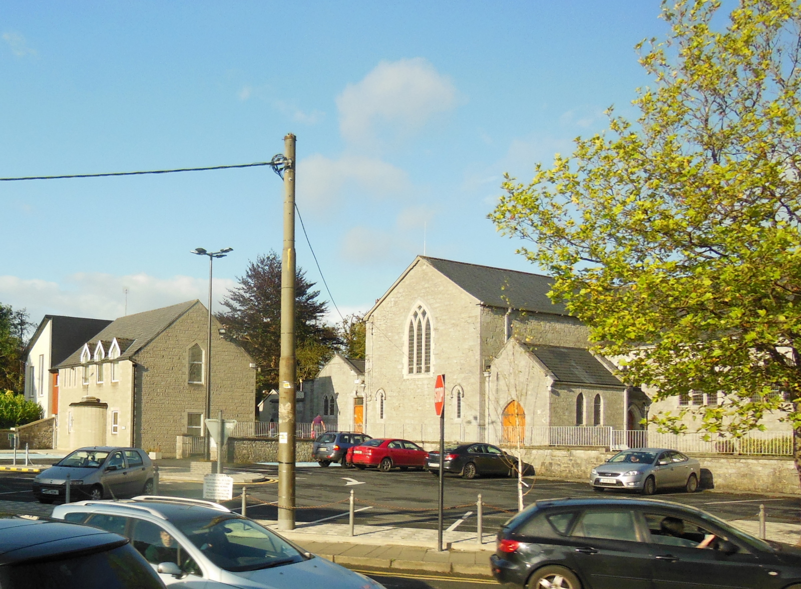 Clonkeen Church (in ruins)Church · 1108 yd
 Grave YardGraveyard · 1233 yd
 BarrowBarrow, ring-barrow · 1.2 mi
 Graveyard in AbingtonGraveyard · 2.0 mi
 CastleCastle, unclassified · 2.0 mi
 Sliev Felim WayVisitor information · 2.3 mi
 Bawn in RathBawn · 2.9 mi
 Campus MapVisitor information · 5.0 mi
 Fountain SculptureHeritage attraction · 5.1 mi
 KnockseefinMountain / peak · 7.4 mi
 The Pollagh TrailNature reserve · 8.2 mi
Other information
Photo: Credit not shown in the picture search · Rights wording not checked; contact us if this picture should be removed