What is recorded here
Enclosure described in 1943 as following; 'This is similar to the last [LI022-139---], i.e., a raised platform with a bank on its edge, the whole surrounded by a fosse. The platform and bank are of earth and gravel. The entrance is on the East side where a causeway interrupts the fosse opposite an opening in the bank. The latter was faced on the outside with stone for some distance on each side of the entrance. The greatest height of the bank over the fosse-bottom is 11' [3.3m] and the overall diameter is 150' [47m]. It stands on rising ground' (O'Kelly 1942-3, 223). Cropmark of levelled monument is visible today on Digital Globe aerial photographs.
Compiled by: Caimin O'Brien
Date of upload: 28 February 2020
The monument record does not grant public access. Check the route and ask the landowner before entering private land.
- What survives
- Recorded monument
Places near here
 Hachured - Externally indicatedFairy fort / earthen ringfort · 135 yd
 Kilcaskin Grave YardBurial ground · 509 yd
 Fedamore Housecountry house · 521 yd
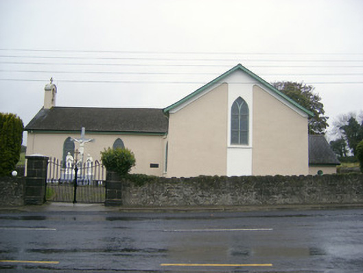 Catholic Church of Saint John the Baptistchurch/chapel · 586 yd
 Dotted outlineBawn · 1.2 mi
 (Site of) Garryellen CastleCastle, unclassified · 1.2 mi
 Carnane RockNamed rock · 1.3 mi
 Villiers WellSpring · 1.8 mi
 Skool HillMountain / peak · 1.9 mi
 ToberauillinSpring · 2.3 mi
 Monasteranenagh AbbeyHeritage attraction · 3.4 mi
 Lough GurVisitor information · 3.6 mi