
What is recorded here
Kilcaskin burial ground described in 1840 as 'a small burial ground about the centre of the townland, but latterly there have been no burials in it. There is a large ash tree growing on the west side, which is visible from a great distance' (OSNB Fedamore Parish)
Graveyard described in 1942-3 as following; 'This may have been a graveyard, but there is nothing on the site now to show definitely that it was. It consists of a small rectilineal structure, which is almost square, measuring 78' [24m] east-west by 69' [21m]. On the south side there is a slight bank, which seems to have been faced outside with boulders, a few of which remain in position. On this side, too, there is a slight fosse which is densely overgrown. On the north and west sides there is no trace of the bank or fosse. Everywhere there are small rough stones showing through the turf. The site now looks more like a small rectangular fort than a graveyard. Locally it is called a graveyard, but no one has any recollection of burials taking place there. It may have been a Killeen. O'Donovan calls it a graveyard but says it had gone out of use at that time' (O'Kelly 1942-3, 230). Outline of Kilcaskin graveyard visible today on Digital Globe aerial photographs.
Compiled by: Caimin O'Brien
Date of upload: 2 March 2020
This remains an important historical record, but the official description says the monument is no longer visible or has been destroyed. The monument record does not grant public access. Check the route and ask the landowner before entering private land.
- What survives
- No visible remains or recorded as destroyed
Places near here
 Hachured - Externally indicatedFairy fort / earthen ringfort · 430 yd
 RoadRoad, road/trackway · 522 yd
 Enclosure in KilcaskinEnclosure · 717 yd
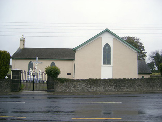 Catholic Church of Saint John the Baptistchurch/chapel · 973 yd
 Dotted outlineBawn · 1600 yd
 (Site of) Garryellen CastleCastle, unclassified · 1627 yd
 Carnane RockNamed rock · 1.2 mi
 Villiers WellSpring · 1.5 mi
 ToberauillinSpring · 2.3 mi
 Monasteranenagh AbbeyHeritage attraction · 3.4 mi
 Lough GurVisitor information · 3.9 mi
 European ashEuropean ash · 5.0 mi
Other information
Photo: Credit not shown in the picture search · Rights wording not checked; contact us if this picture should be removed