
What is recorded here
Enclosure described in 1943 as following; 'A fort similar to the last two [LI022-139-/136-], i.e., a platform with a bank at its edge, the whole surrounded by a fosse. The entrance is on the W. side, where an opening in the bank leads on to a causeway across the fosse. The maximum height of the bank over the fosse-bottom is 8' [2.4m], and the overall diameter is 150' [47m]. It has a slightly higher situation than the last monument [LI022-136----] described and is distant from it by approximately 100 yds. [90m]. Both are densely overgrown' (O'Kelly 1942-3, 223). Outline of monument is visible today on Digital Globe aerial photographs.
Compiled by: Caimin O'Brien
Date of upload: 28 February 2020
The monument record does not grant public access. Check the route and ask the landowner before entering private land.
- What survives
- Recorded monument
Places near here
 Kilcaskin Grave YardBurial ground · 430 yd
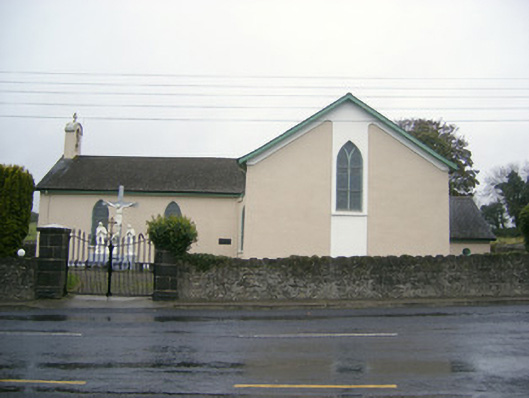 Catholic Church of Saint John the Baptistchurch/chapel · 572 yd
 Partially hachuredEnclosure · 627 yd
 Fedamore Housecountry house · 647 yd
 Dotted outlineBawn · 1.2 mi
 (Site of) Garryellen CastleCastle, unclassified · 1.2 mi
 Carnane RockNamed rock · 1.4 mi
 Villiers WellSpring · 1.7 mi
 Skool HillMountain / peak · 2.0 mi
 ToberauillinSpring · 2.4 mi
 Monasteranenagh AbbeyHeritage attraction · 3.3 mi
 Lough GurVisitor information · 3.7 mi
Other information
Photo: Credit not shown in the picture search · Rights wording not checked; contact us if this picture should be removed