What is recorded here
In pasture, atop ridge. Circular area (26.2m N-S; 24.5m E-W) enclosed by earthen bank WNW->E and defined E->WNW by scarped edge (H 1.85m; Wth 5.5m). Bank (int. H 0.35m; ext. H 1.35m), best preserved at NW, lowers at N (ext. H 0.15m). Scarp best preserved at ESE, lowers at S (H 0.25m). Dry-stone field wall runs tangentially to W arc, 5m outside it. Interior, under pasture, dips gently down towards centre.
Compiled by: Denis Power
Date of upload: 26 August 2011
The monument record does not grant public access. Check the route and ask the landowner before entering private land.
- What survives
- Recorded monument
Places near here
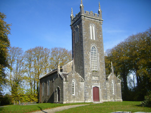 Castletown Church (Kilcornan)church/chapel · 699 yd
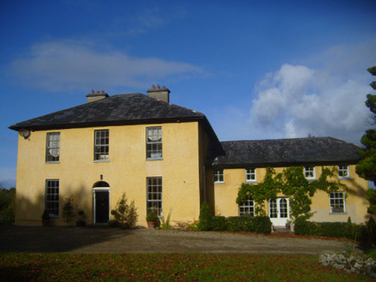 The Rectoryrectory/glebe/vicarage/curate's house · 714 yd
 Grave Yd.Graveyard · 945 yd
 Bawn in Castletown (kenry By.)Bawn · 1343 yd
 Carriganea CastleCastle · 1528 yd
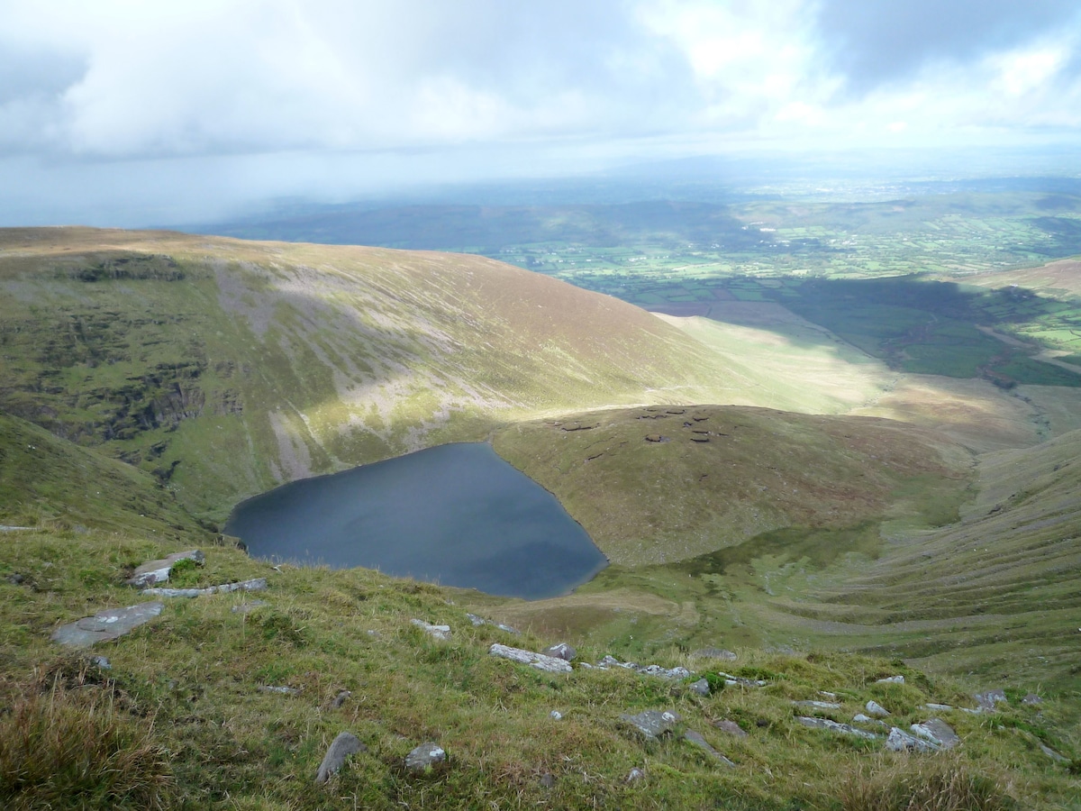 IndicatedEnclosure · 1690 yd
 Sweet ChestnutSweet Chestnut · 1.2 mi
 Ringmoylan PierVisitor information · 1.6 mi
 Mellon PointHeadland · 2.6 mi
 Stonehall Visitor FarmHeritage attraction · 2.7 mi
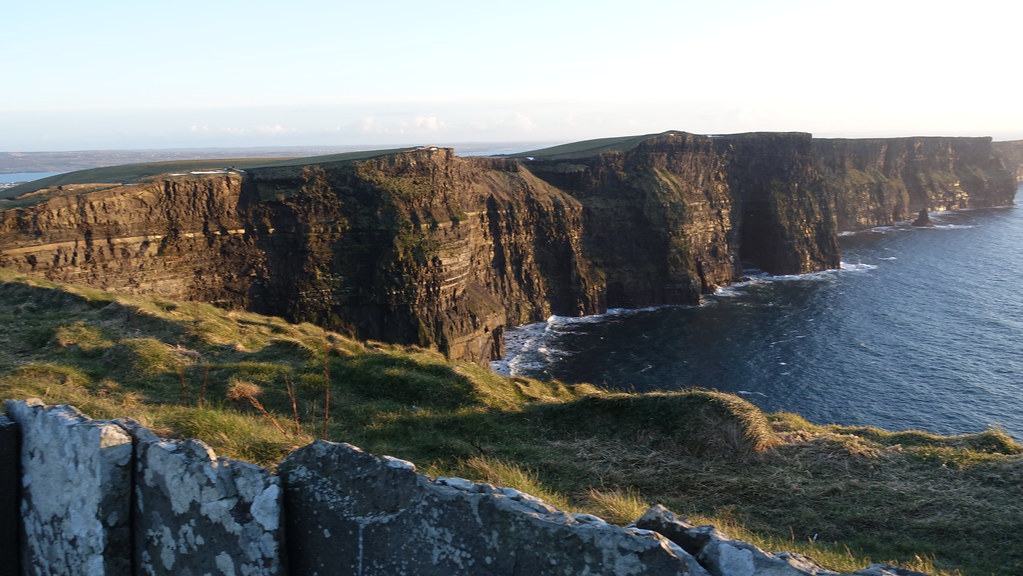 Conor's RockNamed rock · 2.8 mi
 European YewEuropean Yew · 2.9 mi