What is recorded here
Two possible small hut sites, a possible circular structure, four possible cremation pits and a large number of pits, post-holes and stake-holes were excavated here in 2000 prior to the construction of the golf course (Excavation Licence 00E0696). The excavator noted that the site 'extended northwards and westwards beyond the area .... affected by the construction of the fairway'. (Deevy 2002, 363-4).
Compiled by: Claire Breen
Date of upload: 24 January 2013
The monument record does not grant public access. Check the route and ask the landowner before entering private land.
- What survives
- Recorded monument
Places near here
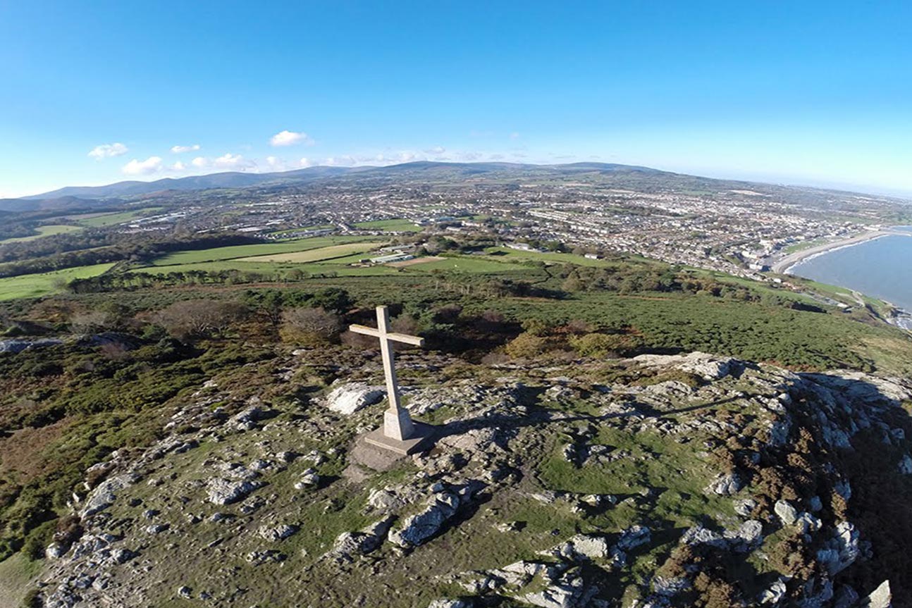 Bray Head LoopWalking route · 91 yd
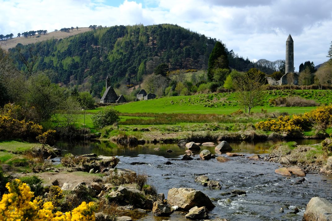 Manweiler's WoodWood · 656 yd
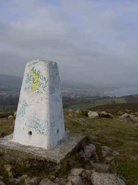 Bray Head HillMountain / peak · 659 yd
 The ShaftCliff · 860 yd
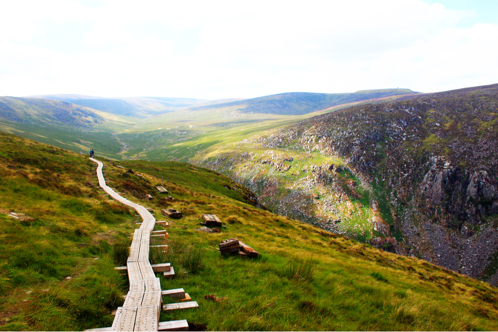 Streaky SlabCliff · 926 yd
 KilrudderyHouse, 16th/17th century · 1027 yd
 Killrudderygate lodge · 1042 yd
 Bray HeadMountain / peak · 1066 yd
 Kilruddery House and GardensHeritage attraction · 1086 yd
 Bray Greystones ViewViewpoint · 1223 yd
 Bray Greystones Cliff WalkWalking route · 1424 yd
 Naylor's CoveBeach / strand · 1674 yd