What is recorded here
Cloghadda is a standing stone in Gurteen Upper, County Waterford, Ireland. It stands on the west shoulder of a ridge running from northeast to southwest, positioned at the side of a laneway in a coniferous forest. This Old Red Sandstone monolith is oriented from east-northeast to west-southwest and has a rectangular cross-section. It measures 0.6 metres by 0.55 metres at the base and stands 2.9 metres high, increasing in size to 1 metre by 0.7 metres at the top.
Situated on the W shoulder of a NE-SW ridge, at the side of a laneway in a coniferous forest. This is an Old Red Sandstone monolith with a rectangular cross-section (dims. 0.6m x 0.55m; H 2.9m) oriented ENE-WSW. It increases in dimensions to 1m x 0.7m at the top.
The above description is derived from the published 'Archaeological Inventory of County Waterford' (Dublin: Stationery Office, 1999). In certain instances the entries have been revised and updated in the light of recent research.
Compiled by: Michael Moore
Date of upload: 27 August 2010
Likely dating to the Bronze Age, Cloghadda, Gurteen Upper is a standing stone that may have had ritual or territorial significance. Its orientation and placement suggest possible alignment with solar or ceremonial functions, though specific folklore or use remains unrecorded.
The monument record does not grant public access. Check the route and ask the landowner before entering private land.
- What survives
- Recorded monument
Places near here
 CarrigeenseebohillaMountain / peak · 1.2 mi
 IndicatedFairy fort / earthen ringfort · 1.3 mi
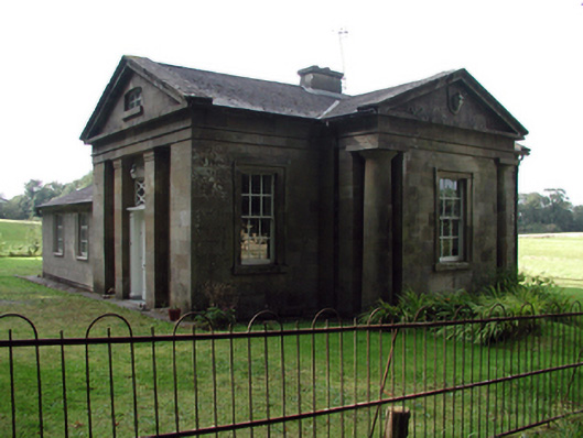 Gurteen Le Poergate lodge · 1.4 mi
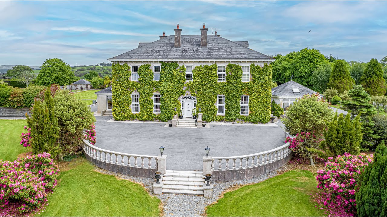 Tikincor WoodForest · 1.5 mi
 DolmenPortal tomb · 1.5 mi
 Derrinlaur Castle (in ruins)Castle, tower house · 1.6 mi
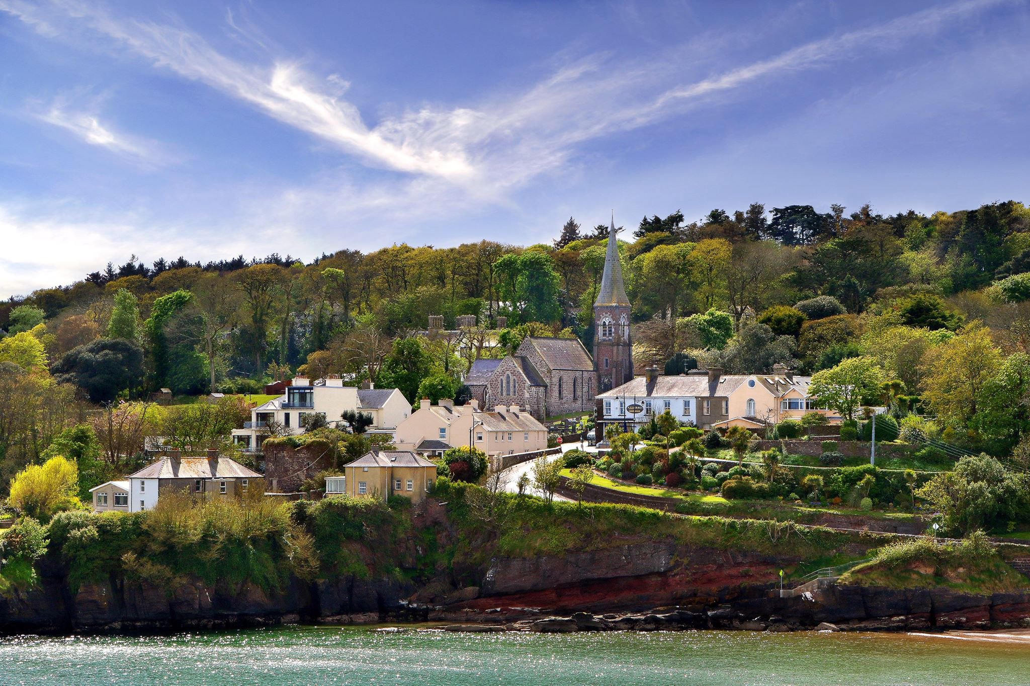 ShauneenabreagaMountain / peak · 1.6 mi
 Wild CherryWild Cherry · 1.7 mi
 The Prison WaterfallWaterfall · 1.8 mi
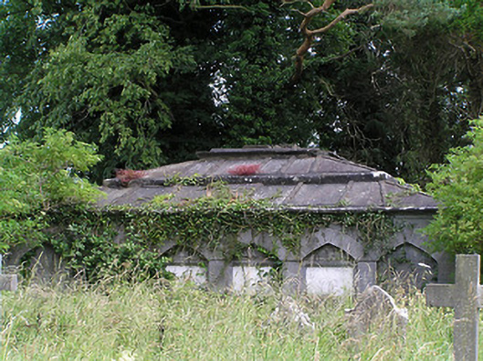 Killaloan Churchmausoleum · 1.8 mi
 Gurteen CastleCastle · 1.9 mi
 RetrospectMemorial · 3.6 mi