
What is recorded here
Situated at the S edge of the floodplain of the W-E River Suir. References date from 1520 when ownership was disputed between the Powers and the Butlers, although the castle may be older. It was captured by John Fitzgerald, Earl of Desmond, in 1574 but it was recaptured by the Viceroy, Sir William Fitzwilliam, the following year when the rebel garrison was massacred (Grattan-Flood 1897, 235). In 1640 it is described as the stump of a castle owned by Thomas Butler, Lord Cahir (Simington 1942, 100). It is indicated on the Down Survey (1955-6) map and terriers.
Circular tower (ext. diam. 11.2m; int. diam. 5.35m) with a base-batter and buttresses partly surviving to full height (c. 15m) with a machicolation. Internally all the chambers appear to be circular. A rectangular structure (ext. dims. 12m E-W; c. 9m N-S) with circular corner towers was added to the W and S of the main tower. Only the SE corner tower (ext. diam. 7.4m; int. diam. 3m; H c. 4m) survives with no distinguishing features. Archaeological testing (07E0214) on a subrectangular site (max. dims. c. 110m E-W; c. 95m N-S ) immediately to the SE produced no archaeological material (Henry 2010, 512, No. 1813).
The above description is derived from the published 'Archaeological Inventory of County Waterford' (Dublin: Stationery Office, 1999). In certain instances the entries have been revised and updated in the light of recent research.
Date of upload/revision: 6 December 2010
Derrinlaur Castle was held by the Powers and Butlers in the early 16th century, with disputes over ownership recorded from 1520. It is remembered for its strategic position near the River Suir and its involvement in local power struggles during the Tudor period.
The monument record does not grant public access. Check the route and ask the landowner before entering private land.
- What survives
- Recorded monument
Places near here
 Enclosure in Tikincor LowerEnclosure · 559 yd
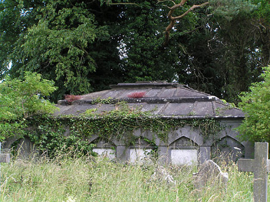 Killaloan Churchmausoleum · 780 yd
 IndicatedFairy fort / earthen ringfort · 880 yd
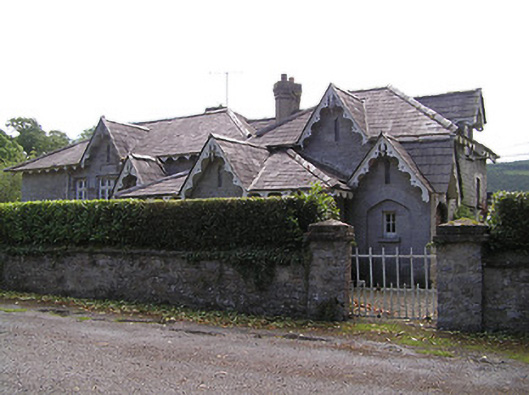 Newtownanner National Schoolschool · 890 yd
 Bourke's GroveForest · 1122 yd
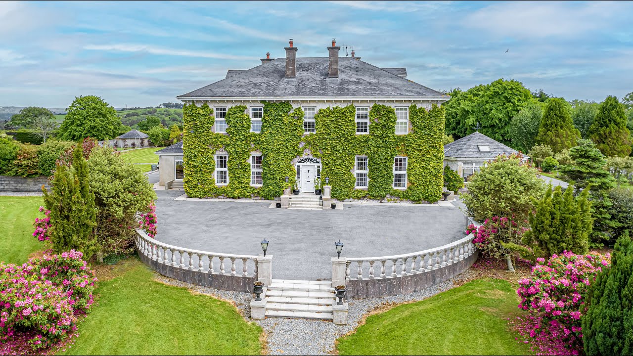 Tikincor WoodForest · 1204 yd
 Kilgainy Castle (in ruins)Castle, tower house · 1.4 mi
 CastleCastle, unclassified · 1.6 mi
 CarrigeenseebohillaMountain / peak · 2.1 mi
 Long HillMountain / peak · 2.2 mi
 The Prison WaterfallWaterfall · 2.4 mi
 RetrospectMemorial · 2.6 mi
Other information
Photo: Credit not shown in the picture search · Rights wording not checked; contact us if this picture should be removed