
What is recorded here
Situated in woodland on the floodplain of the River Suir. A portal tomb is oriented E-W and constructed of sandstone boulders. The rectangular capstone has slipped off the portal-stones, and the S sidestone is displaced and now lies across the septal-stone, while the S portal-stone has fallen forward. The N portal-stone (H 2.2m) and the N sidestone (H 1.7m) are undisturbed. (Borlase 1897, vol. 1, 56; Ó Nualláin 1983, 102)
The above description is derived from the published 'Archaeological Inventory of County Waterford' (Dublin: Stationery Office, 1999). In certain instances the entries have been revised and updated in the light of recent research.
Date of upload/revision: 23 December 2008
Portal tomb, dating to the Neolithic period (c. 4000–2500 BCE). Its orientation and construction reflect early megalithic funerary practices in Ireland.
The monument record does not grant public access. Check the route and ask the landowner before entering private land.
- What survives
- Recorded monument
Places near here
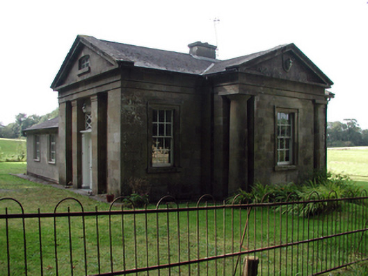 Gurteen Le Poergate lodge · 343 yd
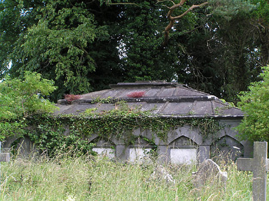 Killaloan Churchmausoleum · 990 yd
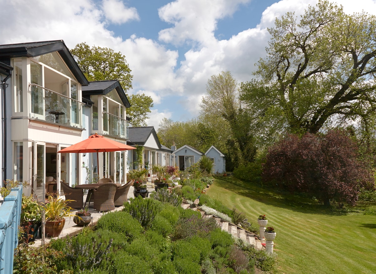 Enclosure in Killaloan LowerEnclosure · 991 yd
 Black PoplarBlack Poplar · 1102 yd
 Wild CherryWild Cherry · 1418 yd
 Derrinlaur Castle (in ruins)Castle, tower house · 1425 yd
 IndicatedEnclosure · 1436 yd
 Gurteen CastleCastle · 1587 yd
 CarrigeenseebohillaMountain / peak · 1.5 mi
 Long HillMountain / peak · 2.8 mi
 RetrospectMemorial · 3.4 mi
 Charles BianconiMemorial · 3.7 mi
Other information
Photo: Credit not shown in the picture search · Rights wording not checked; contact us if this picture should be removed