What is recorded here
No one knows if the fort was built to cage the stone or simply dropped beside it like a boy skipping a rock across water. The stone is older than every war fought in that valley, yet it still stands upright inside the fort wall as if accepting the arrangement rather than resisting it. Chatterton shook it in 1839 and it wobbled, but someone braced it with a leaning slab and it has held its ground ever since.
In pasture atop hill. No visible surface trace.
The above description is derived from the published 'Archaeological Inventory of County Cork. Volume 1: West Cork' (Dublin: Stationery Office, 1992). In certain instances the entries have been revised and updated in the light of recent research.
Date of upload/revision: 14 January 2009
The monument record does not grant public access. Check the route and ask the landowner before entering private land.
- What survives
- Recorded monument
Places near here
 Man-made underground passage in Ballybrack (carbery West (w.d.) By.)Man-made underground passage · 412 yd
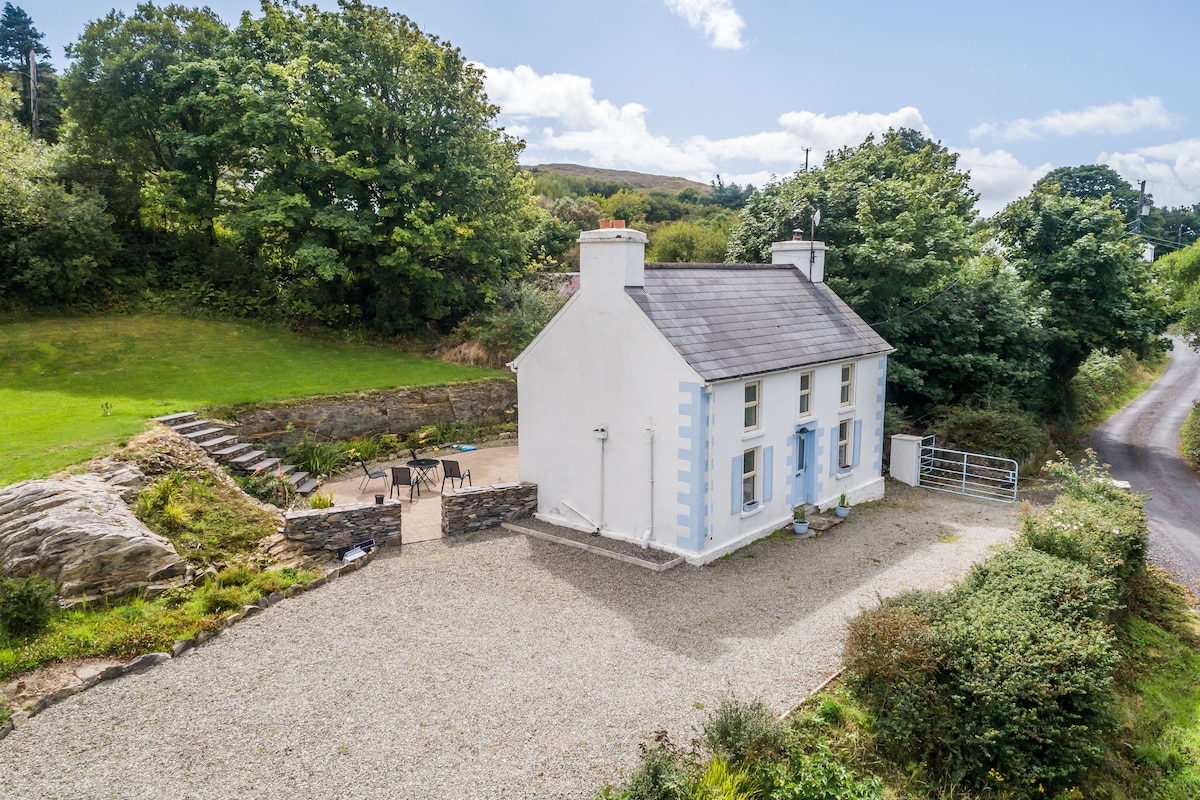 Hut site in DrinaneHut site · 788 yd
 Country house in LeamconCountry house · 1127 yd
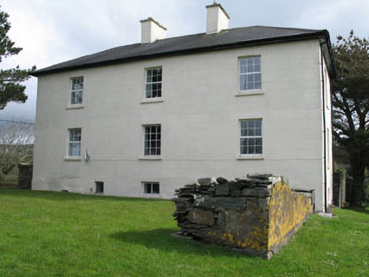 Leamcon Housecountry house · 1128 yd
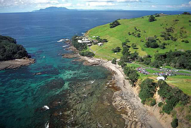 Goat IslandIslet · 1180 yd
 Castle (in Ruins)Castle, unclassified · 1227 yd
 Coney IslandIslet · 1.1 mi
 AltarViewpoint · 2.3 mi
 Sailor's HillViewpoint · 2.4 mi
 Ballyrisode PointHeadland · 2.9 mi
 Schull HarbourBay · 3.1 mi
 Ballyrisode WoodWood · 3.3 mi