What is recorded here
Moss and birch have swallowed the dead, leaving only a broken stone ribbon and scattered heaps for the forest to keep. What was laid down here has gone back into the ground, denied even the dignity of a mark on the survey maps. The woods do not remember the names, but they still hold the shape of what was buried beneath them.
There is no definite trace of 'Cullion Burial Ground' marked on the 3rd edition of the OS 6-inch maps. A 10m stretch of ruined stone wall and a few indiscriminate heaps of moss-covered stone may be associated. The area is now wooded.
The above description was derived from the 'Archaeological Survey of County Donegal. A description of the field antiquities of the County from the Mesolithic Period to the 17th century.' Compiled by: Brian Lacey with Eamon Cody, Claire Cotter, Judy Cuppage, Noel Dunne, Vincent Hurley, Celie O'Rahilly, Paul Walsh and Seán Ó Nualláin (Lifford: Donegal County Council, 1983). In certain instances the entries have been revised and updated.
Date of upload: 22 September 2008
The monument record does not grant public access. Check the route and ask the landowner before entering private land.
- What survives
- Recorded monument
Places near here
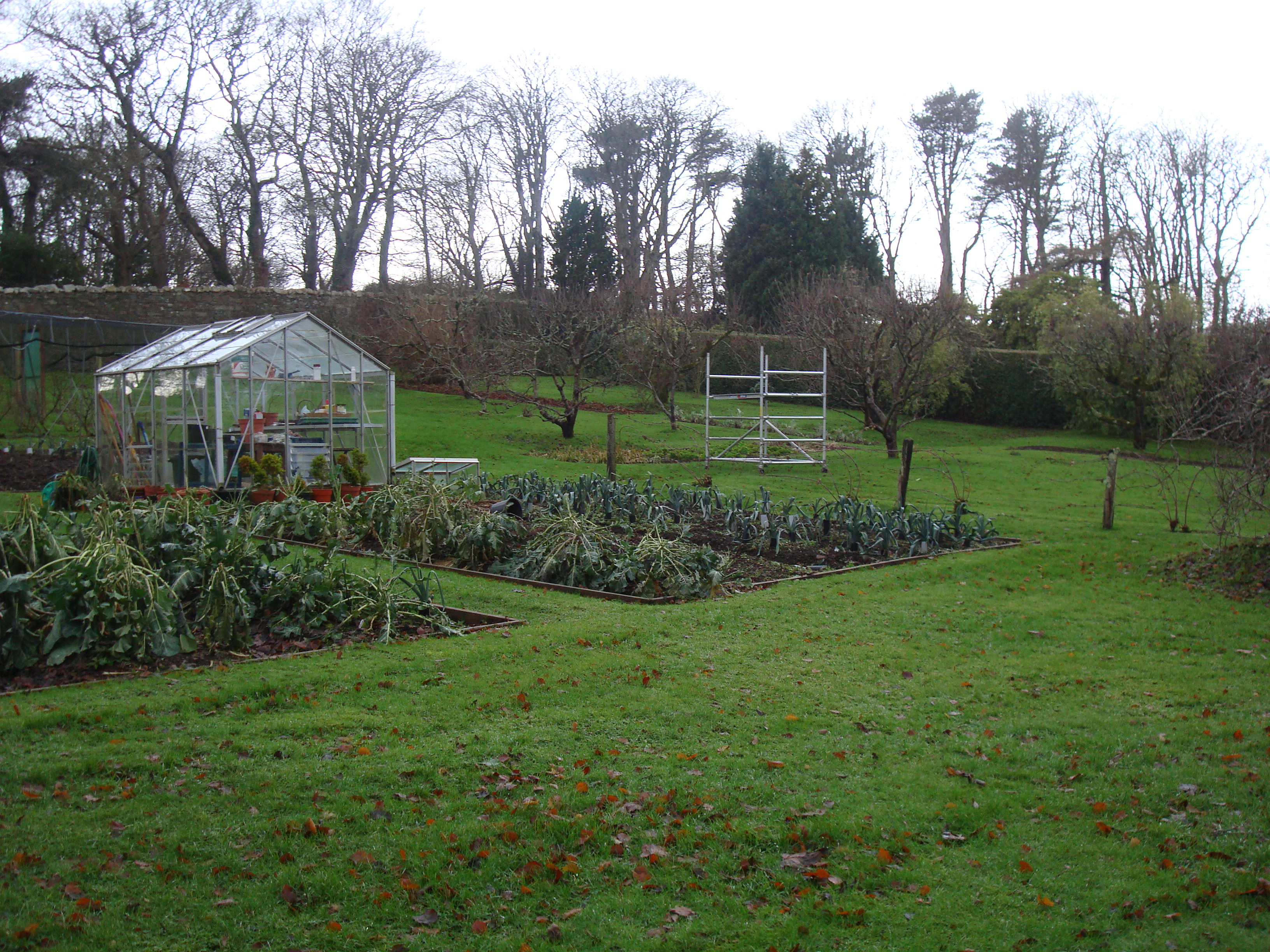 Greenfortwalled garden · 436 yd
 Ardroe Cottagehouse · 1190 yd
 PortsalonOfficial bathing water · 1.3 mi
 Drumfad Lower Standing StoneStanding stone · 1.4 mi
 Fortification in CroaghrossFortification · 1.8 mi
 Wych ElmWych Elm · 1.9 mi
 Wild Atlantic Way:Ballymastocker StrandVisitor information · 1.9 mi
 Ballymastocker StrandViewpoint · 1.9 mi
 Old CastleCastle, unclassified · 2.0 mi
 HazelHazel · 2.1 mi
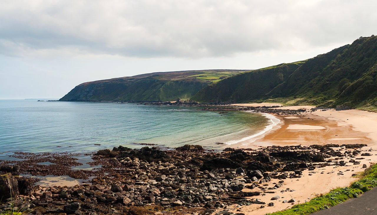 Drumnacraig BeachBeach / strand · 2.8 mi
 Moross CastleCastle, tower house · 3.1 mi