What is recorded here
A house is depicted on the Down Survey barony map (1656-8) of Forth barony at Grogan Burrow (13) in Tacumshin parish. It is on the mainland rather than the sand spit, but its precise location is not known. According to the Book of Survey and Distribution (1660s) Robert Hay owned 70 acres at Grogan in 1640, and a total of 331 acres in Tacumshin parish (Simington 1953, 304-05).
See the attached section of the Down Survey barony map (N at right) reproduced courtesy of the National Library of Ireland
Compiled by: Michael Moore
Date of upload: 18 February, 2014
The monument record does not grant public access. Check the route and ask the landowner before entering private land.
- What survives
- Recorded monument
Places near here
 Sigginstown Island (Little)Islet · 477 yd
 Sigginstown Island (Great)Island · 575 yd
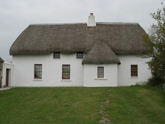 farm housefarm house · 1586 yd
 Saint Catherine's Church (Tacumshin)church/chapel · 1622 yd
 Castle (in ruins)Castle, tower house · 1635 yd
 St. Catherines WellHoly well · 1652 yd
 The HamBay · 1.1 mi
 Wilson's MoorWood · 1.1 mi
 Wind MillWindmill · 1.2 mi
 Ballymacane CastleCastle, unclassified · 1.4 mi
 The White Hole BeachBeach / strand · 1.9 mi
 The Chour / The Hill of the ChourMountain / peak · 2.5 mi