What is recorded here
In pasture, located on a small rounded peak on a narrow NW−SE ridge. There are extensive views encompassing a broad sweep of the surrounding undulating grassland, Donegal Bay and Slieve League to NW, and the corrugated slope of Ben Bulben which dominates landscape to SE. The deep gully of the Grange River cuts through a small valley c. 150m to S. A roughly rectangular-shaped stone (L 0.38m NNW−SSE; T 0.15m; H 0.6m) set upright in the ground. The stone narrows slightly on its N−S axis at the base. The E face of the stone is flat; the W face is slightly convex. The top of the stone is gently rounded, rising higher on the E and S edges. A second standing stone (SL005-182----), which shares the same alignment, is within sight on another small peak 31m to SE on the same ridge.
Compiled by: Jane O’Shaughnessy
Date of upload: 4 August 2016
Probably dating to the Late Neolithic or Bronze Age, this standing stone may have functioned as a territorial marker, ceremonial focus, or astronomical alignment point. Its prominent position suggests a role in prehistoric navigation, ritual practice, or as a landmark with potential connections to local folklore about ancient pathways or sacred sites.
The monument record does not grant public access. Check the route and ask the landowner before entering private land.
- What survives
- Recorded monument
Places near here
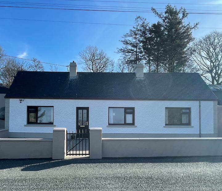 Enclosure in GrogaghEnclosure · 211 yd
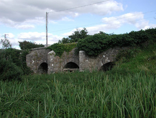 Ardnaglass Bridgebridge · 551 yd
 IndicatedFairy fort / stone ringfort · 682 yd
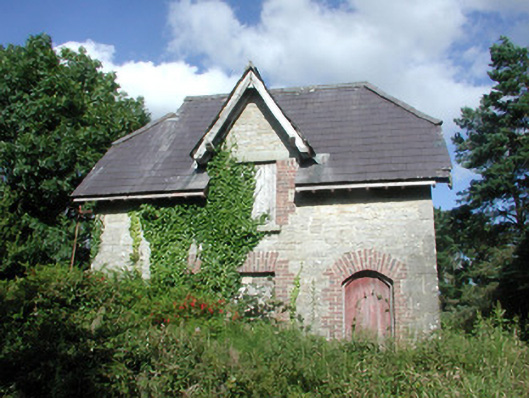 Benbulbin Old Schoolschool master's house · 870 yd
 CastleCastle, unclassified · 1.2 mi
 BenbulbinMountain / peak · 1.6 mi
 BenbulbenMountain · 1.7 mi
 Atlantic SheepdogsHeritage attraction · 1.9 mi
 InishnagorIslet · 1.9 mi
 Benbulbin South-East TopMountain / peak · 2.3 mi
 Connors IslandIsland · 2.5 mi
 Castle (in Ruins)Castle, unclassified · 2.7 mi