What is recorded here
In improved pasture, cut into a SW-facing slope which overlooks a river valley. Circular area (dims. 23m E-W; 21m N-S) defined by the remains of a levelled bank (overall Wth 11.7m; Wth at top 3m; int. H 0.4m; ext. H 1.7m) and outer fosse (Wth 8.8m; D 0.4m). The bank survives from S-N but is reduced to scarp (Wth 5.35m; H 1.25m) N-S. The fosse is visible from S-NNE and is cut into the natural rise downslope to the SW. The interior is in lush pasture and tilts with the natural slope.
Compiled by: Jean Farrelly
Date of upload: 26 August 2011
The monument record does not grant public access. Check the route and ask the landowner before entering private land.
- What survives
- Recorded monument
Places near here
 Enclosure in GreenaneEnclosure · 302 yd
 Enclosure in FriarsfieldEnclosure · 420 yd
 Greenane Housecountry house · 643 yd
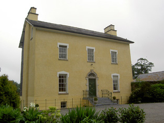 The Gleberectory/glebe/vicarage/curate's house · 731 yd
 Old CastleRuins · 938 yd
 Shanbally fortCastle, ringwork and bailey · 1.1 mi
 European ashEuropean ash · 1.4 mi
 I.R.A. 3rd. Tipperary Brigade MemorialMemorial · 1.9 mi
 Soloheadbeg Ambush SiteMemorial · 2.0 mi
 Soloheadbeg Ambushambush · 2.2 mi
 It's a long way to TippereryHeritage attraction · 2.5 mi
 The RockViewpoint · 4.6 mi