What is recorded here
At the S end of Lough Duff, a former lake, now a marsh. A raised circular area (dims. 19m N-S; 20.4m E-W; H 1.25m) with no visible causeway leading to the site. There is no evidence of timber, though stones and cinders have been found there according to the landowner. Referred to in the OS Namebooks (1840) as 'an artificial island built upon piles and hurdles' with 'part of the boat and oars, a brass skillet and the handle of a sword or dagger' found in the vicinity.
The above description is derived from 'The Archaeological Inventory of County Tipperary. Vol. 1 - North Tipperary' compiled by Jean Farrelly and Caimin O'Brien (Dublin: Stationery Office, 2002). In certain instances the entries have been revised and updated in the light of recent research.
Date of upload/revision: 22 September 2008
The monument record does not grant public access. Check the route and ask the landowner before entering private land.
- What survives
- Recorded monument
Places near here
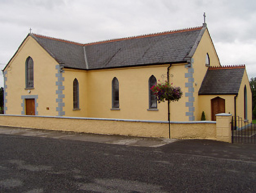 Saint Ruadhan's Catholic Churchchurch/chapel · 694 yd
 James Devaney MemorialMemorial · 1036 yd
 Kilruane Househouse · 1148 yd
 Shean FortsFairy fort / earthen ringfort · 1503 yd
 RathurlesFairy fort / earthen ringfort · 1615 yd
 Site of CastleCastle, unclassified · 1.1 mi
 Rathurles CastleCastle · 1.2 mi
 Old BarracksHeritage attraction · 2.6 mi
 Nenagh Heritage CentreMuseum · 2.8 mi
 Ballycapple WoodForest · 3.1 mi
 Gibbet HillMountain / peak · 3.8 mi
 Knigh HillMountain / peak · 4.0 mi