What is recorded here
Mortons and Sweeney's still mark the edge where human memory fades. Beyond that line the land stops answering questions and begins offering itself. It is not loss of knowledge but arrival at the edge of measurement. What is being withheld is not data but the shape of the world that data cannot reach.
Situated in a low-lying position with N-S streams c. 5-10m adjacent to N and E. This is a grass-covered subcircular area (int. dims 29.5m N-S; 27m E-W) defined by an overgrown earthen bank (Wth 5.1m; int. H 0.65m; ext. H 1.35m) with an external fosse (Wth of base 3.5m; D 0.35m). The entrance (Wth 4.5m) at ENE may be original.
The above description is derived from 'The Archaeological Inventory of County Leitrim' compiled by Michael J. Moore (Dublin: Stationery Office, 2003). In certain instances the entries have been revised and updated in the light of recent research.
Date of upload: 23 September 2008
The monument record does not grant public access. Check the route and ask the landowner before entering private land.
- What survives
- Recorded monument
Places near here
 IndicatedEnclosure · 1445 yd
 European ashEuropean ash · 1445 yd
 Cromlin Bridge WoodWood · 1.4 mi
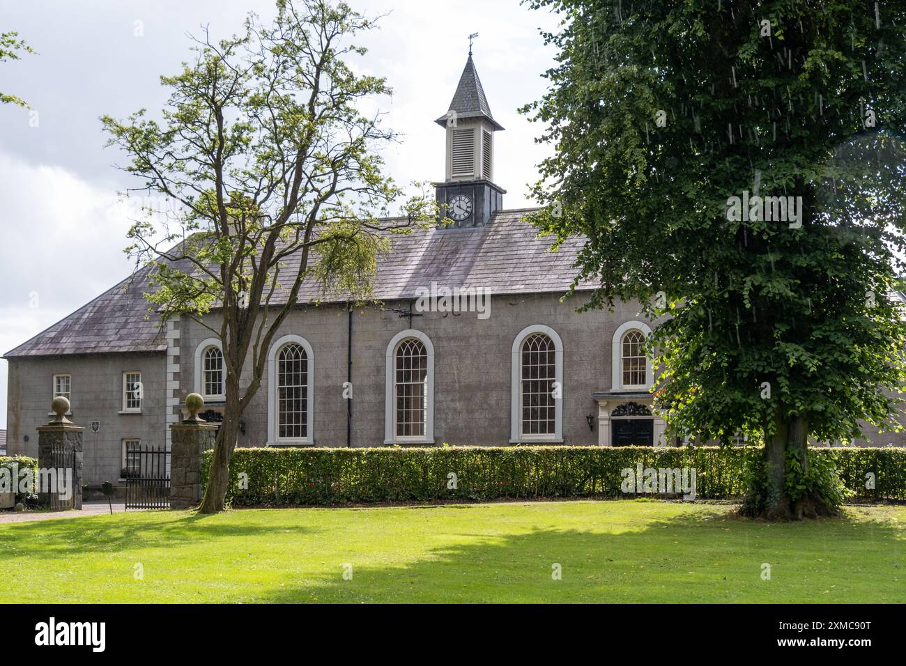 Site of Dernasmallan churchRuins · 1.4 mi
 Turf IslandIsland · 1.6 mi
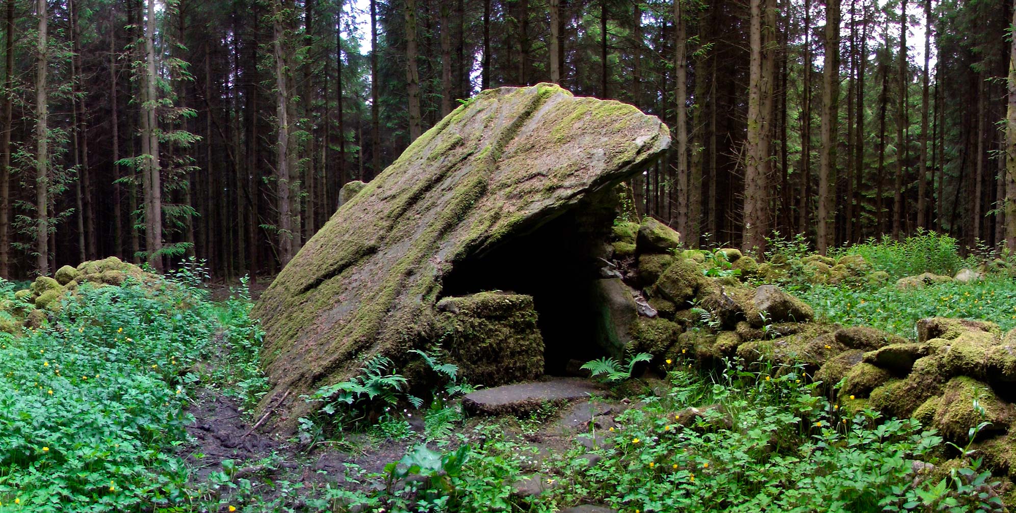 Druid's AltarArchaeological place · 1.6 mi
 Crane IslandIslet · 1.8 mi
 DrumbadMountain / peak · 2.0 mi
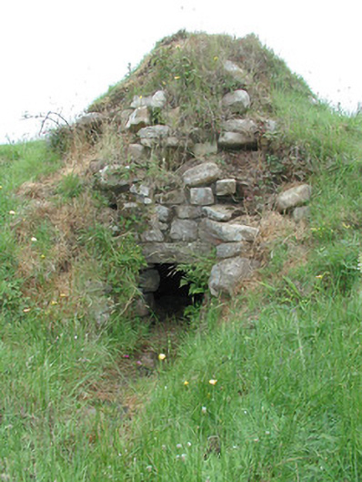 sweat housesweat house · 2.4 mi
 CastleCastle, tower house · 2.9 mi
 CastleforeCastle, tower house · 3.3 mi
 Bartonny TopMountain / peak · 3.5 mi