What is recorded here
Situated on the S bank of the River Suir within the graveyard (WA003-001002-) of Dysert church (WA003-001001-). Within the chancel is a graveslab (dims. 2m x 0.93m; T 0.13m) of Charles Everard of Glen Lower (WA002-007----) and his wife Clarisa (?) Wale of Coolnamuck (WA003-008001-), dated 1643. (Ryland 1824, 290-92; Martin 1874-5, 248-9)
Martin, Dr. (1874-5) Proceedings and papers, JRSAI 13, 247-50, 437, 479, 481.
Ryland, Rev. R. H. (1824) The History, topography and antiquities of the county and city of Waterford. John Murray. London.
Compiled by: Michael Moore
Date of upload: 08 December 2010
The monument record does not grant public access. Check the route and ask the landowner before entering private land.
- What survives
- Recorded monument
Places near here
 Site of ChurchChurch · 3 yd
 Grave YardGraveyard · 25 yd
 Maurice DavinMemorial · 81 yd
 Dysart HouseOfficially recorded historic building · 574 yd
 Ballydine Ho.Castle, unclassified · 711 yd
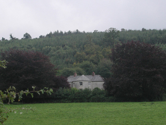 Churchtown Househouse · 1070 yd
 Churchtown WoodForest · 1213 yd
 Castle (in ruins)Castle, tower house · 1556 yd
 Coolnamuck Wood WestForest · 1.5 mi
 CarrigcoumMountain / peak · 1.9 mi
 Thomas KielyMemorial · 2.2 mi
 CarrigeenseebohillaMountain / peak · 3.4 mi