What is recorded here
In a low lying area. An Early Christian foundation was established here (Carrigan 1905, 58). In the 13th century the church was granted to the Augustinians of St. Thomas's Abbey, Dublin by Thomas de Hereford. In 1345 the Irish of the Slieve Bloom burned the church (LA028-034001-) (Dowling 1981, 15). All visible headstones post date 1700 AD.
Rectangular shaped graveyard (int. dims. 29m N-S; 67m E-W) enclosed by a stone wall with church in N quadrant.
Area around church and graveyard and ecclesiastical enclosure was investigated by Dominic Delaney in the year 2000 under excavation licence no. 00E0159.
The above description is derived from the published 'Archaeological Inventory of County Laois' (Dublin Stationery Office, 1995) compiled by P. David Sweetman, Olive Alcock and Bernie Moran. In certain instances the entries have been revised and updated in the light of recent research.
Date of upload: 17 December 2007
The monument record does not grant public access. Check the route and ask the landowner before entering private land.
- What survives
- Recorded monument
Places near here
 Bordwell Church (in Ruins)Church · 19 yd
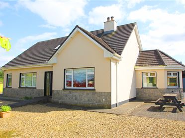 Enclosure in Bordwell LittleEnclosure · 358 yd
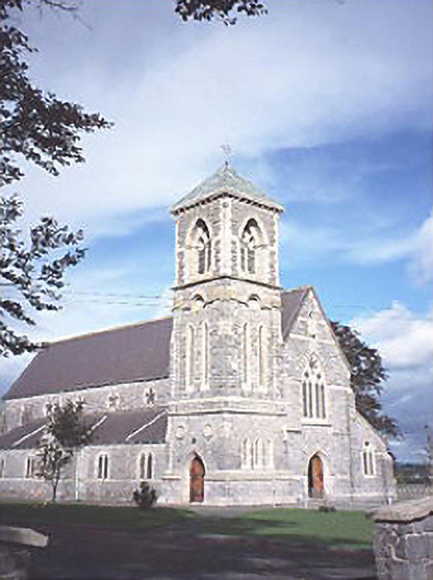 Saint Canice's Catholic Churchchurch/chapel · 1164 yd
 Enclosure in Oldglass (detached Portion)Enclosure · 1691 yd
 CastleCastle, tower house · 1.0 mi
 Kilbreedy CastleCastle · 1.2 mi
 Big WoodWood · 2.1 mi
 European PearEuropean Pear · 2.2 mi
 Cnoc SeanrathaMemorial · 6.1 mi
 Anker's IslandIsland · 8.3 mi
 DelaneyMemorial · 9.0 mi
 Black HillMountain / peak · 9.4 mi