
What is recorded here
Grave Yard stands on a Cork hillside beside a road, still receiving the dead after centuries of burial. Its rectangular stones mark the vanished parish church of Caherlag, whose walls collapsed before human memory faded. The living may have walked past ruins while the dead remained steady beneath the soil, waiting for people to return and remember them.
On top of a hill, on W side of road; roughly rectangular graveyard (c. 80m SW-NE; c. 50m NW-SE); still in use. Many late 18th and 19th century headstones on S side. No visible surface trace of church (CO075-005002-), the N and E wall of which are shown on 1902 OS 6-inch map and which Power (1918, 33) described as 'almost completely disappeared'; ancient parish church of Caherlag; in 1700 (Brady 1863, vol. 1, 50) described as 'built with stone and clay; the walls half down'.
The above description is derived from the published 'Archaeological Inventory of County Cork. Volume 2: East and South Cork' (Dublin: Stationery Office, 1994). In certain instances the entries have been revised and updated in the light of recent research.
Date of upload/revision: 14 January 2009
The monument record does not grant public access. Check the route and ask the landowner before entering private land.
- What survives
- Recorded monument
Places near here
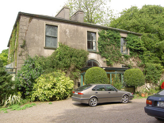 Marysborough Housecountry house · 662 yd
 Glenburne Housecountry house · 788 yd
 Architectural fragment in BallinglannaArchitectural fragment · 1.0 mi
 Old Court (Site of)Castle, unclassified · 1.0 mi
 Carberrytown WoodWood · 1.2 mi
 Ashbourne ParkWood · 1.6 mi
 Castle (Site of)Castle, unclassified · 1.9 mi
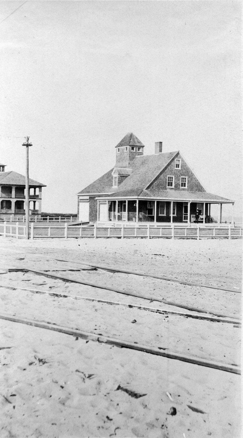 Old coast guard station ruinRuins · 2.3 mi
 Cork WalksVisitor information · 4.4 mi
 Lavitts QuayMemorial · 4.7 mi
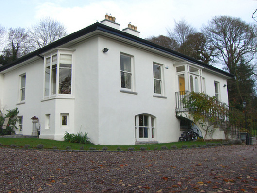 Mount Patrickhouse · 1041 yd
Other information
Photo: Credit not shown in the picture search · Rights wording not checked; contact us if this picture should be removed