What is recorded here
Disused Templeroan church lies at the heart of a subcircular graveyard in County Cork, surrounded by low wall and stone-faced bank. Nagle tombs and headstones mark the site from 1723 to 1796, while later burials cluster south of the ruined church. The abandoned pound depression beside the road suggests the graveyard once served a busy rural parish before silence took it.
On S side of road. Subcircular graveyard (c. 67m N-S; c. 48m E-W) enclosed by low wall along roadside to N, otherwise by stone-faced earthen bank. Ruin of parish church of Templeroan (14409) just S of centre. Burials concentrated to S of, and within, church; earliest headstone noted dated 1783; in 1907 Grove White (1905-25, vol. 4, 250) noted Nagle headstone to N of church dated 1723. Two chest tombs overlie N wall of church; easternmost is tomb of Nagle family with date of 1796 (ibid.). Subrectangular depression, inside road wall to W, appears to be feature named 'Pound' on 1842 OS 6-inch map.
The above description is derived from the published 'Archaeological Inventory of County Cork. Volume 4: North Cork' (Dublin: Stationery Office, 2000). In certain instances the entries have been revised and updated in the light of recent research.
Date of upload/revision: 14 January 2009
The monument record does not grant public access. Check the route and ask the landowner before entering private land.
- What survives
- Recorded monument
Places near here
 Templeroan Church (in Ruins)Church · 9 yd
 Cist in Shanballymore UpperCist · 658 yd
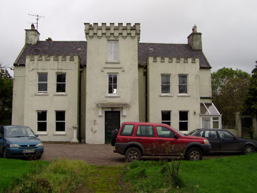 Wallstown Castlehouse · 697 yd
 St Bernards WellHoly well · 775 yd
 Ruane Castle (Site of)Castle, unclassified · 1023 yd
 Shanballymore Castle (Site of)Castle, unclassified · 1028 yd
 Anne's Grove GardensHeritage attraction · 1.8 mi
 Horse Field WoodForest · 2.0 mi
 North Meadow WoodForest · 2.2 mi
 Flat cemetery in Ballyenahan NorthFlat cemetery · 3.5 mi
 Smith's WellSpring · 4.4 mi
 CarrigeenamronetyMountain / peak · 5.6 mi