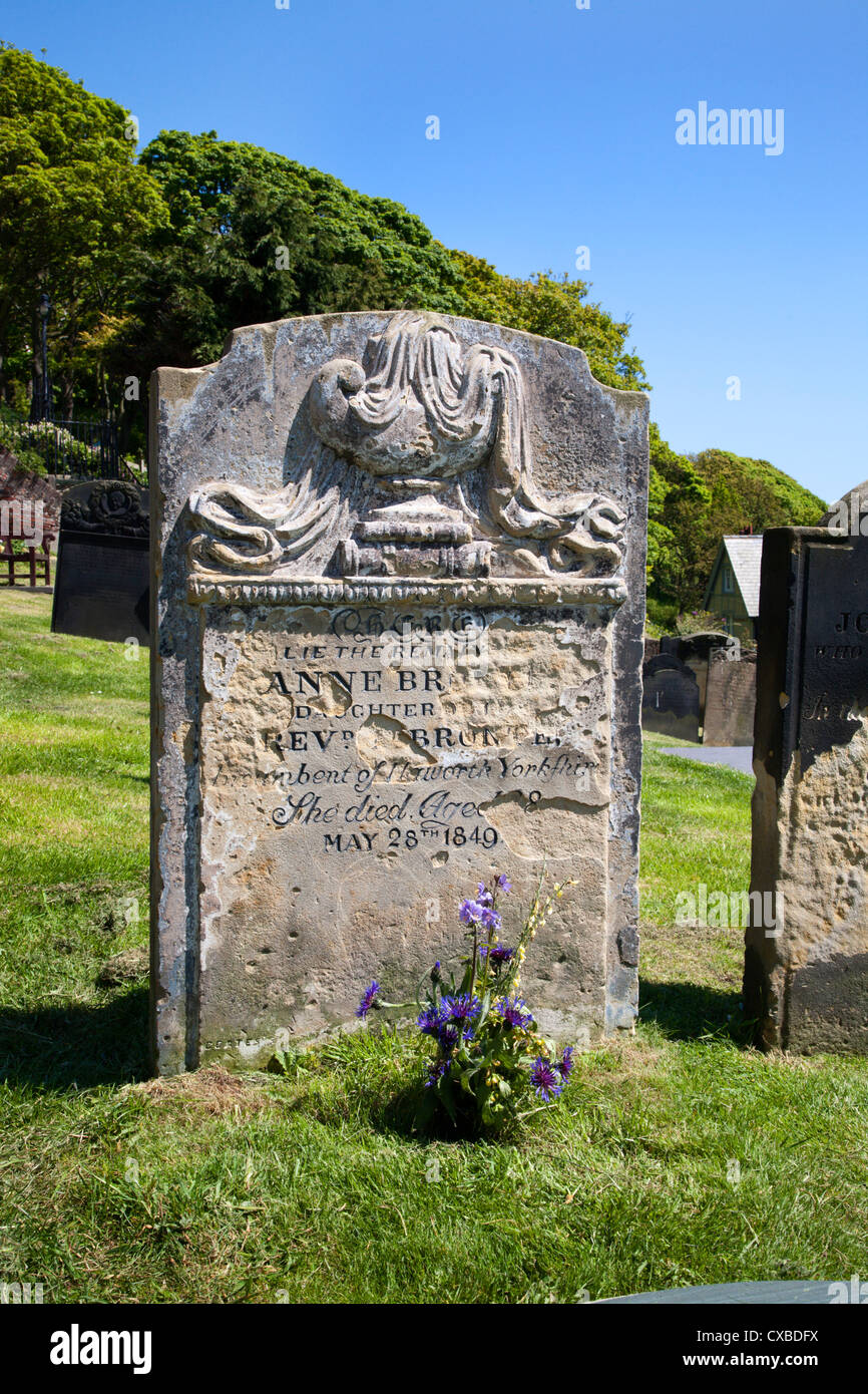
What is recorded here
Grave marks a buried soldier field in County Cork, recorded on the 1842 map and described locally as the resting place of White boys. Land reclamation has swallowed the surface trace, leaving only the name to point at bones forgotten beneath soil. The absence becomes the feature: a place that erases its own evidence while still demanding recognition.
Marked "graves" on OS 6-inch map (1842). According to local information, burial place of White boys or English 'soldiers' in the vicinity. Some land reclamation has taken place and no surface trace of burials was noted.
The above description is derived from the published 'Archaeological Inventory of County Cork. Volume 1: West Cork' (Dublin: Stationery Office, 1992). In certain instances the entries have been revised and updated in the light of recent research.
Date of upload/revision: 14 January 2009
The monument record does not grant public access. Check the route and ask the landowner before entering private land.
- What survives
- Recorded monument
Places near here
 Childrens Burial GdBurial ground · 146 yd
 Fulacht fia in Greenane (carbery W. (w.d) By.)Fulacht fia · 207 yd
 Church in Kilbarry (carbery West (w.d) By.)Church · 394 yd
 Castle (Site of)Castle, unclassified · 1209 yd
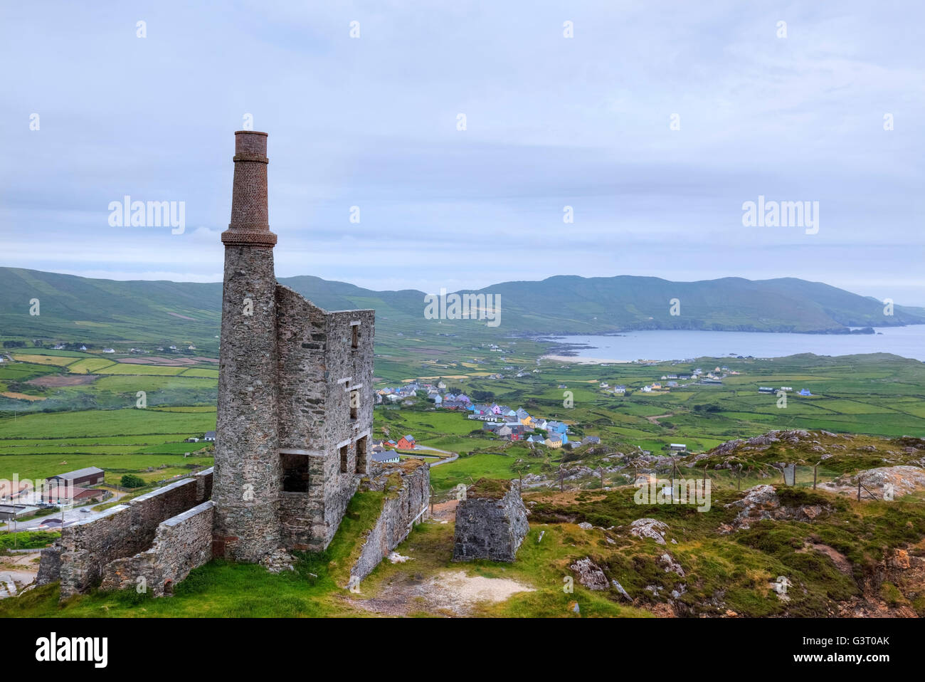 MineMine, copper · 1327 yd
 Creamery PlatformMemorial · 1.2 mi
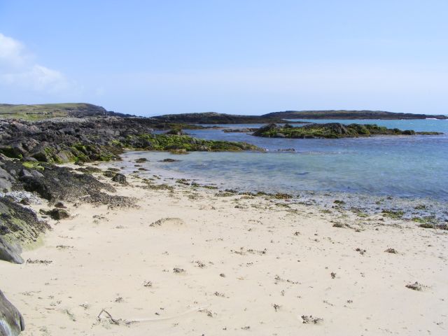 Galley Cove BeachBeach / strand · 1.4 mi
 Chimney CoveBeach / strand · 1.7 mi
 Barley CoveHeritage attraction · 1.9 mi
 KnocknamaddreeMountain / peak · 1.9 mi
 KnockboyMountain / peak · 1.9 mi
 Structure in Greenane (carbery W. (w.d) By.)Structure · 321 yd
Other information
Photo: Credit not shown in the picture search · Rights wording not checked; contact us if this picture should be removed