
What is recorded here
Cahermoyle holds two buried layers: a post-1700 Roman Catholic church graveyard with standing memorials, and an older hill burial ground now hidden beneath a farm trackway. The older site was still visible enough for the 1841 Ordnance Survey map to show a circular area about twenty metres wide, but by Westropp’s 1904 to 1905 survey it had reduced to the bare phrase “a burial-ground.” Ordinary farming did not destroy it in one dramatic act; it absorbed the place gradually, until even its shape disappeared.
Post-1700 R. C. Church standing in N quadrant of graveyard which contains memorials dating from the post-1700 period onwards.
Compiled by: Caimin O'Brien
Date of upload: 26 April 2019
The monument record does not grant public access. Check the route and ask the landowner before entering private land.
- What survives
- Recorded monument
Places near here
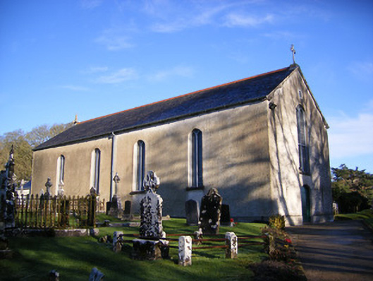 Catholic Church of Saint Patrick and Saint Brigidchurch/chapel · 23 yd
 Crock IslandCrannog · 287 yd
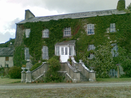 Loughgur Housecountry house · 362 yd
 Lough Gur Standing StoneArchaeological place · 372 yd
 Lough GurVisitor information · 683 yd
 Grange Stone CircleArchaeological place · 689 yd
 Garret IslandCastle, unclassified · 726 yd
 Bawn in Grange (smallcounty By.)Bawn · 736 yd
 Pedunculate OakPedunculate Oak · 1480 yd
 The SpectaclesVisitor information · 1560 yd
 Lough Gur Heritage CentreVisitor information · 1614 yd
 Glen BogForest · 2.4 mi
Other information
Photo: Credit not shown in the picture search · Rights wording not checked; contact us if this picture should be removed