What is recorded here
Pre-development topsoil stripping revealed a fulacht fia in 2004. It was situated on a SE facing slope in an area of high ground. There is low-lying, marshy ground to the S and E. It comprises five sub-rectangular and sub-circular pit features (Dims. L1.1m-1.78m, Wth 1.66m, D 0.15m-0.3m) and a spread of burnt mound material. Two of these pits were interpreted as trough pits. They had stake holes in each corner (Elder, 2007, 95-96).The ecact location of this monument is unknown.
Compiled by: Geraldine Stout
Date of upload: 26 August 2011
The monument record does not grant public access. Check the route and ask the landowner before entering private land.
- What survives
- Recorded monument
Places near here
 Earthwork in MaynetownEarthwork · 326 yd
 Enclosure in MaynetownEnclosure · 756 yd
 Baldoyle Estuary Nature ReserveNature reserve · 760 yd
 Catholic Church of Saint Peter and Saint Paulchurch/chapel · 1150 yd
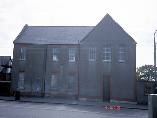 Convent of the Sisters of Charityschool · 1157 yd
 Map of Baldoyle Industrial EstateVisitor information · 1255 yd
 Strand Mill RuinsRuins · 1482 yd
 Portmarnock BeachBeach / strand · 1.1 mi
 Graveyard in Kilbarrack LowerGraveyard · 1.3 mi
 Burrow BeachBeach / strand · 1.7 mi
 St Catherine's WellSpring · 1.8 mi
 Ayrfied UnitedHeritage attraction · 1.9 mi