What is recorded here
On top of a natural hillock in undulating pasture with good views in all directions. A well-preserved ringfort consisting of a raised circular area (diam. 51m N-S; 53m E-W) enclosed by a well-preserved earth and stone bank (base Wth. 6m; top Wth 2m; int. H 0.4m; ext. H 2.5m) reduced to a scarp at the SE where the field boundaries intersect with the monument. There are two cattle gaps in the bank at the N sector and a gap in the bank at the E due to tree root disturbance. The bank is at its highest externally from the SW through W to the N. A modern house has been built approx. 20m to the SW of the ringfort where there was an earlier 19th-century farmhouse and farmyard.
Compiled by: Jean Farrelly
Date of upload: 26 August 2011
The monument record does not grant public access. Check the route and ask the landowner before entering private land.
- What survives
- Recorded monument
Places near here
 Longfordpass BridgeBridge · 902 yd
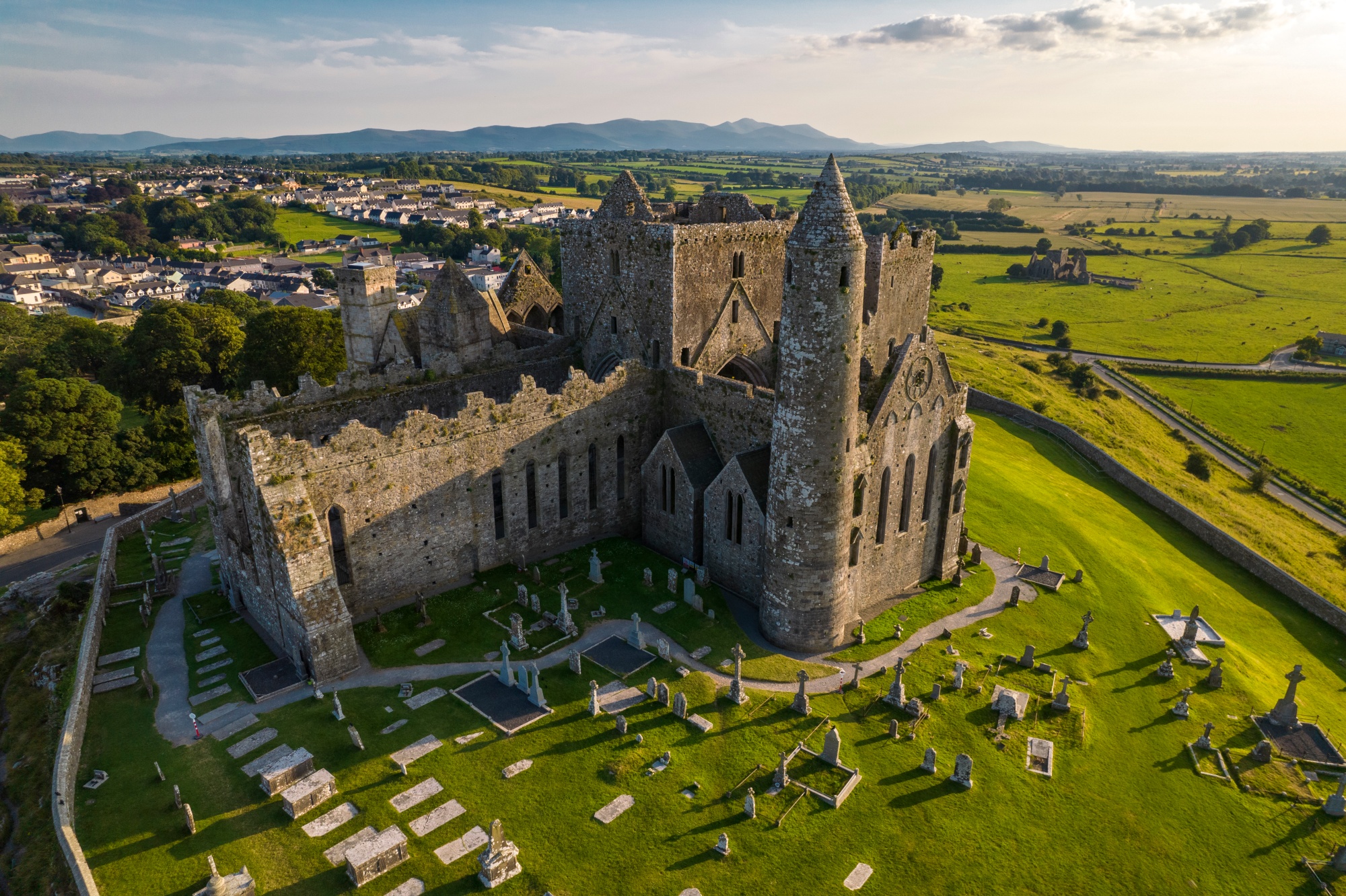 RathkianFairy fort / earthen ringfort · 903 yd
 RathbegFairy fort / earthen ringfort · 1177 yd
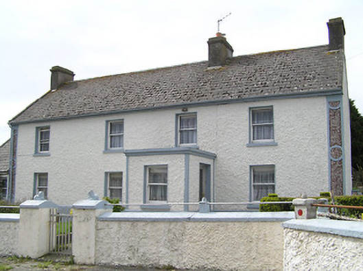 farm housefarm house · 1601 yd
 Bawn in GraiguepadeenBawn · 1649 yd
 Fennor Castle (in Ruins)Castle, unclassified · 1.5 mi
 Kilcooly AbbeyHeritage attraction · 2.6 mi
 KilcooleyForest · 2.8 mi
 Serpentine WoodForest · 3.2 mi
 Bregaun HillMountain / peak · 4.1 mi
 John HelyMemorial · 4.7 mi
 DelaneyMemorial · 4.8 mi