What is recorded here
Situated on a broad plateau. Conglomerate stone with a rectangular cross-section (dims. 0.55m x 0.65m; H 1.05m) and no particular orientation. An inspection in 2012 found the stone lying prostrate on its SE face (total L 1.28m), showing a rectangular base (0.8m x 0.68m). There is a waterlogged hollow around the area where the stone stood.
The above description is based on the published 'Archaeological Inventory of County Waterford' (Dublin: Stationery Office, 1999). In certain instances the entries have been revised and updated in the light of recent research.
Date of upload: 23 December 2008
Date of revised upload: 15 May 2012
Compiled by: Jean Farrelly
The monument record does not grant public access. Check the route and ask the landowner before entering private land.
- What survives
- Recorded monument
Places near here
 IndicatedFairy fort / earthen ringfort · 852 yd
 Fulacht fia in BoolabegFulacht fia · 1485 yd
 Water millWater mill, horizontal-wheeled · 1560 yd
 Curraheen TrailsVisitor information · 1.4 mi
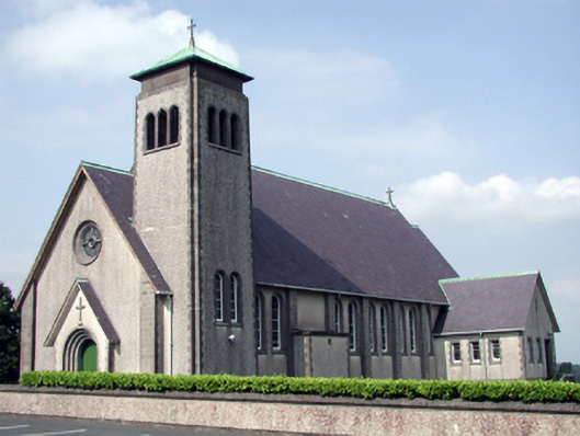 Catholic Church of the Sacred Heart of Jesuschurch/chapel · 1.4 mi
 The Boolas LoopWalking route · 1.5 mi
 Bawn in RathgormuckBawn · 1.8 mi
 The Boolas Linear TrailWalking route · 1.8 mi
 MoteCastle, motte and bailey · 2.1 mi
 CarrignagowerMountain / peak · 2.2 mi
 LackaduffMountain / peak · 2.3 mi
 CoumshingaunMountain corrie and lake · 2.8 mi