What is recorded here
Goeran Castle towers above the eastern edge of town, yet the largest residence once belonged to Mr Bayly according to an early 18th-century map. His house still stands opposite the castle entrance, wearing a shield marked J.K. and E.N. with either 1630 or 1650. The plaque likely commemorates its construction, turning a ordinary street building into a marker of local ambition during a turbulent period.
On the N side of the Main Street at the E end of the town, opposite the main entrance to Gowran Castle. An armorial plaque is in the E gable wall of a two-storey, multi-period house (KK020-060014-). The plaque bears the initials J.K. and E.N. inscribed on a shield with the date of either 1630 or 1650. An early 18th-century map of Gowran shows a large two-storey house at roughly this location, the largest house in the town, belonging to a ‘Mr Bayly’ (White 1710/11). It is likely that the plaque commemorates the construction of the house.
Compiled by: Jean Farrelly
Date of upload: 25 March 2021
The monument record does not grant public access. Check the route and ask the landowner before entering private land.
- What survives
- Recorded monument
Places near here
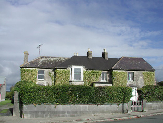 Gowran Househouse · 10 yd
 Gowran Courthousecourt house · 53 yd
 Castle (Site of)Castle, unclassified · 222 yd
 IndicatedTown defences · 234 yd
 Font in GowranFont · 254 yd
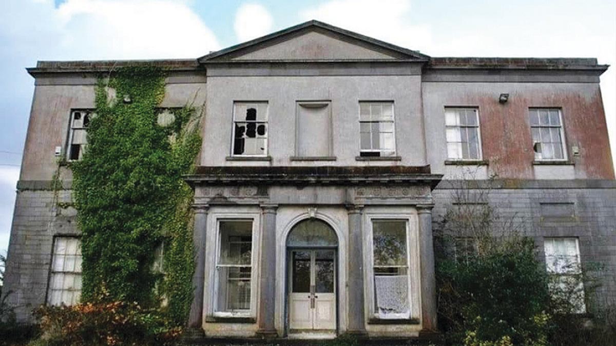 Bawn in Gowran DemesneBawn · 762 yd
 HawthornHawthorn · 3.3 mi
 The Pey FieldForest · 3.3 mi
 Tullaherin Church and Round TowerVisitor information · 4.5 mi
 St. Mogarra’s WellSpring · 4.7 mi
 Kilbline GraveyardArchaeological place · 5.4 mi
 Time CapsuleMemorial · 5.6 mi