What is recorded here
The Down Survey (1655-6) barony map of Sheelogher indicates a building, consisting of a tower (KK019-039001-) and a house, in the centre of ‘Goshinstowne’ townland (Hibernia Regnum, courtesy of Trinity College Dublin). This equates well with the modern townland of Goslingstown and to the location of Castle Bamford in particular. Castle Bamford house is now ruinous. When inspected in 1993 it was found to be a multi-period building containing the fabric of a medieval castle (O’Dwyer, OPW unpublished report, 7 January 1993). O’Dwyer notes that,’in the 1600s Castle Bamford, formerly in the ownership of Thomas See, Irish Papist, was granted to the Duke of York, brother of the king and future King James II [see Calendar of State Paters 1666-69, printed in London in 1908, p. 525] and Books of Survey and Distribution for Co. Kilkenny. As far as I can establish the property was in the hands of the de Valles (or Walls) from Norman times and passed to the Comerfords by marriage c. 1560. I suspect it began as a tower enlarged as a house in the late 16th or early 17th centuries and Georganised c. 1750’ (ibid.). Castle Bamford survives as a roofless ruin.
See attached:
KK019-039003-_01 Extract from Down Survey (1655-6) barony map of Sheelogher
Compiled by: Jean Farrelly
Date of upload: 6 October 2002
The monument record does not grant public access. Check the route and ask the landowner before entering private land.
- What survives
- Recorded monument
Places near here
 Castle BamfordCastle, tower house · 1 yd
 The N76 Callan Road Realignment SchemeMemorial · 672 yd
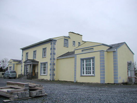 Tinnypark Househouse · 895 yd
 Jamie BroderickMemorial · 933 yd
 Enclosure in ParkmoreEnclosure · 1022 yd
 Enclosure in RaheenapishaEnclosure · 1107 yd
 Birchfield Housefarmyard complex · 1334 yd
 HawthornHawthorn · 1702 yd
 Castle (in ruins)Castle, unclassified · 1.1 mi
 River LifeVisitor information · 1.5 mi
 The FordVisitor information · 1.5 mi
 European ashEuropean ash · 2.0 mi