What is recorded here
Earthwork described in 1942-3 as following; 'This is one of two circular platforms [LI032-129----] situated in a little elbow of a stream which is tributary to the Camoge. It is surrounded by a fosse. The monument has been damaged by the erection of fences on the east, south and west sides. The entrance is not recognisable. The platform is 3' [0.9m] high over the fosse-bottom and the overall diameter is 135' [41m] (O'Kelly 1942-3, 241). Cropmark of levelled monument barely visible today on Digital Globe aerial photographs.
Compiled by: Caimin O'Brien
Date of upload: 9 March 2020
The monument record does not grant public access. Check the route and ask the landowner before entering private land.
- What survives
- Recorded monument
Places near here
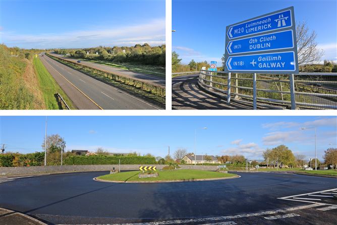 Enclosure in PatrickswellEnclosure · 487 yd
 Glen BogForest · 888 yd
 Field system in PatrickswellField system · 974 yd
 Bawn in Ballinscoola (smallcounty By., Cahercorney Ed)Bawn · 1271 yd
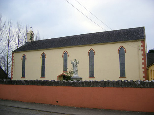 Saint Patrick's Catholic Churchchurch/chapel · 1672 yd
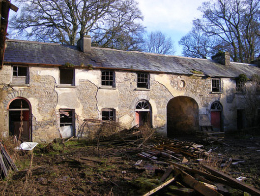 Kilballyowen Houseoutbuilding, stables · 1715 yd
 Castle (in ruins)Castle, unclassified · 1.1 mi
 KnockainyMountain / peak · 1.3 mi
 Pedunculate OakPedunculate Oak · 2.2 mi
 Flat cemetery in Knockainy WestFlat cemetery · 2.2 mi
 Grange Stone CircleArchaeological place · 2.4 mi
 Kilteely HillMountain / peak · 4.3 mi