What is recorded here
On a low E-facing slope of rising pasture with good views in all directions. A poorly preserved overgrown enclosure consisting of a circular area (int. diam. 25m NE-SW) enclosed by an earthen bank (Wth 2.5m; int. H 0.2m; ext. H 0.3m) heavily overgrown with shrubs and bushes. A large gap (Wth 6m) in the bank in the W quadrant is possibly modern.
Compiled by: Jean Farrelly
Date of upload: 26 August 2011
The monument record does not grant public access. Check the route and ask the landowner before entering private land.
- What survives
- Recorded monument
Places near here
 Catholic Church of the Sacred Heartchurch/chapel · 446 yd
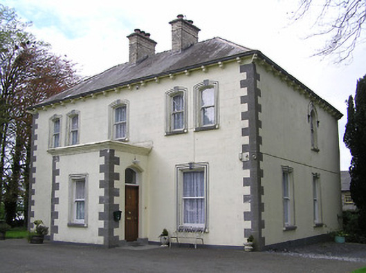 presbytery/parochial/curate's housepresbytery/parochial/curate's house · 507 yd
 RathbegFairy fort / earthen ringfort · 1596 yd
 Font in KilcoolyabbeyFont · 1.2 mi
 Kilcooly AbbeyHeritage attraction · 1.2 mi
 Buolick MoatCastle, ringwork and bailey · 1.5 mi
 KilcooleyForest · 1.5 mi
 Clonamicklon Castle (in ruins)Bawn · 1.6 mi
 Rapefield WoodForest · 1.8 mi
 Bregaun HillMountain / peak · 2.7 mi
 Warhouse HillMountain / peak · 5.1 mi
 John HelyMemorial · 5.2 mi