What is recorded here
Half-buried under centuries of grass and neglect, the ghost of a circular fort still holds its shape on the rise at Gortnagoyne. What remains is a shallow dip and a faint ridge of earth, just enough to suggest a boundary drawn in soil rather than stone. People may have lived here, loved here, and vanished without leaving a name behind. The field cuts through it now, indifferent to the shape beneath, but the circle still resists forgetting.
On a rise in otherwise low-lying grassland. Poorly preserved originally circular rath (D c. 40m) defined by an inner scarp, intervening fosse and outer bank from S to W. No visible surface trace survives elsewhere. Field banks cut the monument at W and S. A CBG (GA017-102001-) lies within the interior.
The above description is derived from the published 'Archaeological Inventory of County Galway Vol. II - North Galway'. Compiled by Olive Alcock, Kathy de hÓra and Paul Gosling (Dublin: Stationery Office, 1999).
Date of upload: 05 August 2010
The monument record does not grant public access. Check the route and ask the landowner before entering private land.
- What survives
- Recorded monument
Places near here
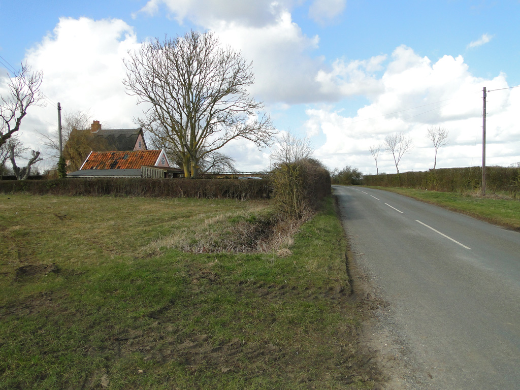 Cuckoo HillFairy fort / ringfort · 790 yd
 Cloonagh FortHilltop enclosure · 1317 yd
 Abbey in ruinsChurch · 1496 yd
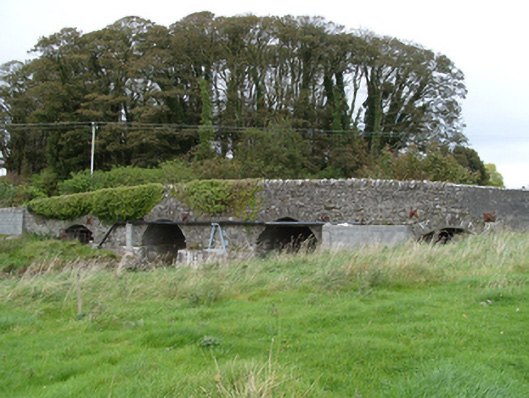 bridgebridge · 2.0 mi
 Dunmore CastleCastle · 2.0 mi
 Site of Doonbally CastleCastle, unclassified · 2.5 mi
 Slieve DartMountain / peak · 5.3 mi
 European ashEuropean ash · 6.6 mi
 Mass RockNamed rock · 8.3 mi
 KnockmaaWood · 12 mi
 CrossCross, High cross (present location) · 1519 yd
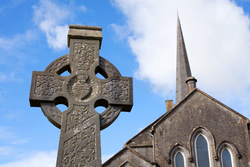 Stone CrossCross, High cross · 1563 yd