What is recorded here
A subcircular earthen mound of basal diameters 24m E-W and 25m N-S. The maximum height is 2.1m. The mound has a rounded top. The site is located on good pasture land in the valley of and S of the Owentocker river.
The above description was derived from the 'Archaeological Survey of County Donegal. A description of the field antiquities of the County from the Mesolithic Period to the 17th century.' Compiled by: Brian Lacey with Eamon Cody, Claire Cotter, Judy Cuppage, Noel Dunne, Vincent Hurley, Celie O'Rahilly, Paul Walsh and Seán Ó Nualláin (Lifford: Donegal County Council, 1983). In certain instances the entries have been revised and updated.
Date of upload: 22 September 2008
A Bronze Age cairn or barrow; significance not yet determined due to lack of archaeological investigation.
The monument record does not grant public access. Check the route and ask the landowner before entering private land.
- What survives
- Recorded monument
Places near here
 Doochill South Stone RingfortFairy fort / stone ringfort · 488 yd
 Destroyed Garvegort Glebe Fairy FortFairy fort / ringfort · 902 yd
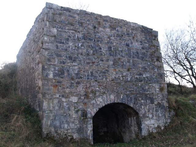 lime kilnlime kiln · 1.2 mi
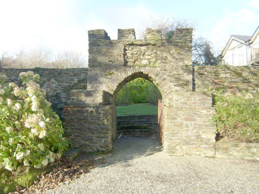 Wood Hillwalled garden · 1.4 mi
 John DohertyMemorial · 1.7 mi
 St. Connell's Museum and Heritage CentreMuseum · 4.1 mi
 Inishkeel Graveyard near GlentiesGraveyard · 4.5 mi
 IllancreeveIslet · 4.8 mi
 Bonny Glen Wood - Bonny Glen walkOfficial walking route · 4.8 mi
 Bonny Glen WoodForest recreation place · 4.9 mi
 Wych ElmWych Elm · 4.9 mi
 Binn BhánMountain / peak · 5.3 mi