What is recorded here
Mass-rock in Gortnabarnan is a mass-rock in Gortnabarnan, County Tipperary, Ireland. Local tradition identifies this natural flat-topped outcrop as a place where masses were said, in the southwest quadrant of a ringfort. The eroded limestone measures 3.8 metres northwest to southeast and 1.8 metres northeast to southwest, rising 0.8 metres above the pasture. The 2011 inventory recorded its uneven surface partly covered with moss and grass.
On top of a gently sloping hillock, in the SW quadrant of a ringfort (TS058-033----), in gently undulating pasture. According to local tradition, this was the location of a mass-rock. The mass-rock consists of a natural flat-topped outcrop (dims. 3.8m NW-SE; 1.8m NE-SW; H 0.8m) that appears to be of heavily eroded limestone. The surface is uneven and partially covered with moss and grass.
Compiled by: Jean Farrelly
Date of upload: 26 August 2011
The monument record does not grant public access. Check the route and ask the landowner before entering private land.
- What survives
- Recorded monument
Places near here
 Fulacht fia in GortnabarnanFulacht fia · 973 yd
 Ladys WellHoly well · 995 yd
 RoadRoad, unclassified togher · 1014 yd
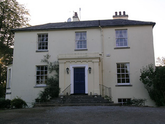 Beechwood Houserectory/glebe/vicarage/curate's house · 1019 yd
 RathduffCastle, ringwork · 1515 yd
 Site of Cullen CastleCastle, unclassified · 1730 yd
 Oola HillMountain / peak · 1.6 mi
 ToberagaddySpring · 5.1 mi
 KnockseefinMountain / peak · 6.0 mi
 Carn (site of)Cairn, burial cairn · 6.1 mi
 St Patrick's WellSpring · 8.3 mi
 Flat cemetery in Knockainy WestFlat cemetery · 8.8 mi