What is recorded here
A pit, 22in deep, the bottom lined with small stones and covered by a slab, 20in × 13in, contained a cordoned urn. The urn contained the remains of two adults and a child. It was situated near the top of cultivation on the SW slope of Bogay Hill.
(Ó Ríordáin 1935,171-3).
The above description was derived from the 'Archaeological Survey of County Donegal. A description of the field antiquities of the County from the Mesolithic Period to the 17th century.' Compiled by: Brian Lacey with Eamon Cody, Claire Cotter, Judy Cuppage, Noel Dunne, Vincent Hurley, Celie O'Rahilly, Paul Walsh and Seán Ó Nualláin (Lifford: Donegal County Council, 1983). In certain instances the entries have been revised and updated.
Date of upload: 22 September 2008
Urn burial cist, likely dating to the Early Bronze Age. Its significance lies in the presence of multiple human remains, indicating a possible family burial or ritual significance in the community's funerary practices.
The monument record does not grant public access. Check the route and ask the landowner before entering private land.
- What survives
- Recorded monument
Places near here
 Emmery Celtic CrossWood · 1012 yd
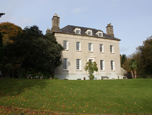 Bogay Housecountry house · 1056 yd
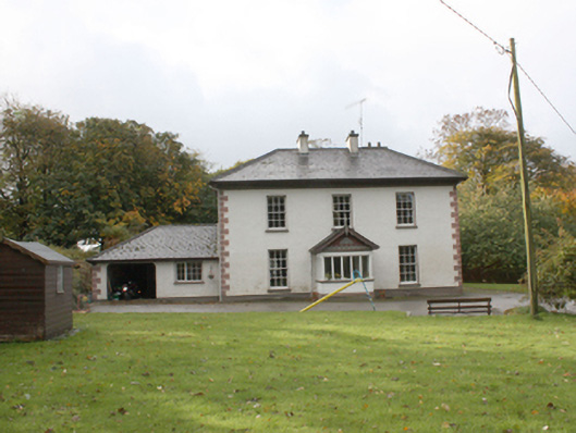 Beech Parkhouse · 1.0 mi
 CastleCastle, unclassified · 1.2 mi
 Grianán of AileachFairy fort / stone ringfort · 2.0 mi
 Grianán of Aileach Outer HillfortHillfort · 2.0 mi
 Greenan MountainMountain / peak · 2.0 mi
 Burt CastleCastle, tower house · 2.0 mi
 Corncamble EnclosureEnclosure · 2.4 mi
 King's GraveArchaeological place · 4.3 mi
 InchIsland · 4.6 mi
 Mass RockNamed rock · 4.8 mi