What is recorded here
One chamber, one roof, one living person. Everything missing from the claim disappears. The owner knows the address, the user knows the chamber and the assistant stops inventing story.
Enclosure described in 1942-3 as following; 'This consists of a circular platform on the edge of which is a bank. It is surrounded by a fosse. The entrance is on the north-east. Outside the break in the bank the fosse is causewayed. The overall diameter is 135' [41m]. On the east side a lime-kiln has been built into the bank' (O'Kelly 1942-3, 229). Tree-covered enclosure visible today on Digital Globe aerial photographs.
Compiled by: Caimin O'Brien
Date of upload: 2 March 2020
The monument record does not grant public access. Check the route and ask the landowner before entering private land.
- What survives
- Recorded monument
Places near here
 Enclosure in FedamoreEnclosure · 723 yd
 Fedamore Housecountry house · 970 yd
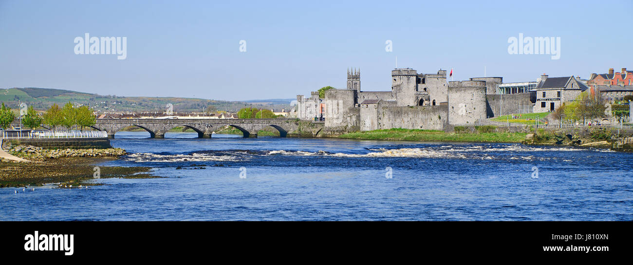 (Site of) St. Johns WellHoly well · 1001 yd
 Carnane RockNamed rock · 1455 yd
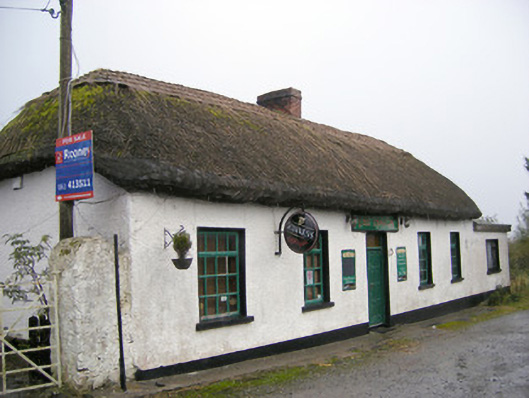 The Thatchhouse · 1497 yd
 Dotted outlineBawn · 1.2 mi
 Bawn in SkoolhillBawn · 1.2 mi
 Skool HillMountain / peak · 1.5 mi
 ToberauillinSpring · 1.7 mi
 Villiers WellSpring · 1.9 mi
 Lough GurVisitor information · 3.7 mi
 Grange Stone CircleArchaeological place · 3.7 mi