What is recorded here
In undulating pasture. Shown as enclosure (diam. c. 20-25m) on 1st (1839) ed. OS 6-inch map but not on the 1900 revision so it appears to have been levelled between 1839 and 1900. It is not visible surface at ground level.
Compiled by: Jean Farrelly
Date of upload: 30 January 2018
The monument record does not grant public access. Check the route and ask the landowner before entering private land.
- What survives
- Recorded monument
Places near here
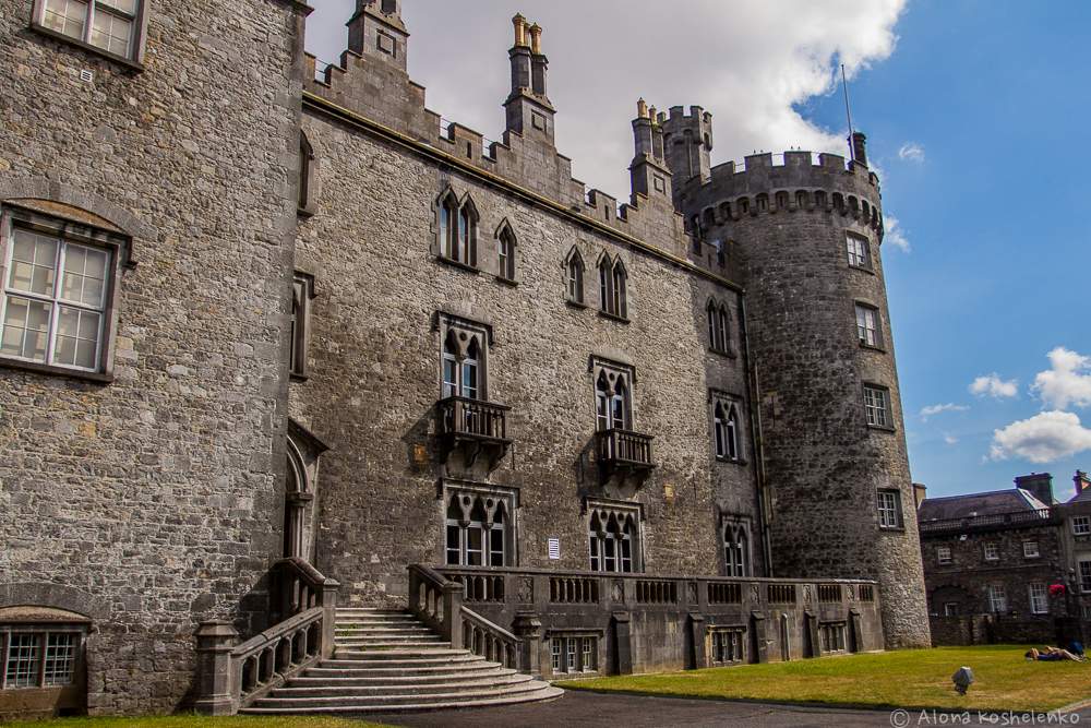 Enclosure in Creenkill MoreEnclosure · 224 yd
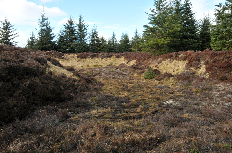 Gravel PitEnclosure, large enclosure · 308 yd
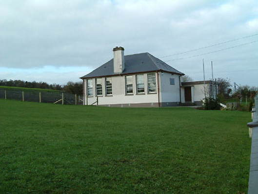 Creenkill National Schoolschool · 910 yd
 Saint Muntchan's Catholic Churchchurch/chapel · 1083 yd
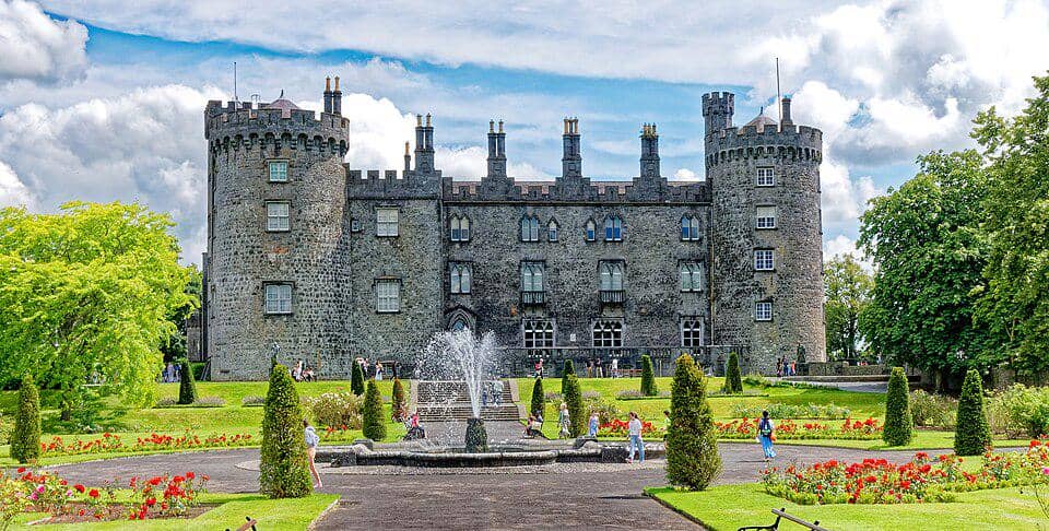 CastleCastle, unclassified · 1627 yd
 Street fieldArchaeological place · 1.7 mi
 Glashare CastleCastle, tower house · 1.8 mi
 Clomantagh HillMountain / peak · 2.2 mi
 DelaneyMemorial · 3.2 mi
 John HelyMemorial · 3.2 mi
 The CopseWood · 4.5 mi
 Anker's IslandIsland · 6.2 mi