What is recorded here
Located on an E-W ridge with rock outcrop and rough pasture at the top of a severe slope down to N, and overlooking Lough Melvin. Five hut-sites are visible as subcircular grass-covered areas defined by the grass-covered remains of stone walls within field system (LE002-028001-). This feature is situated in a fold on the S side of a slightly higher ridge. It is a D-shaped area (ext. dims 4m NE-SW; 3.8m NW-SE; int. dims 2.6m NE-SW; 2.5m NW-SE) defined by the remains of a stone wall (Wth c. 1m) attached to N of a stone field wall of the field system.
Compiled by; Michael Moore
Date of upload: 16 December, 2015
The monument record does not grant public access. Check the route and ask the landowner before entering private land.
- What survives
- Recorded monument
Places near here
 Enclosure in GorteendarraghEnclosure · 197 yd
 Arroo MountainMountain / peak · 893 yd
 Giant's GraveArchaeological place · 1557 yd
 CastleCastle, tower house · 1.4 mi
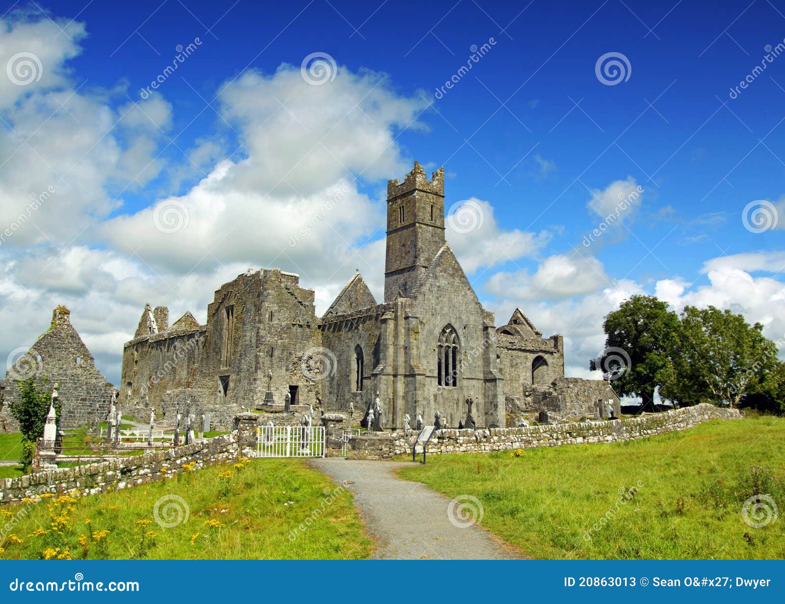 AbbeyChurch · 1.4 mi
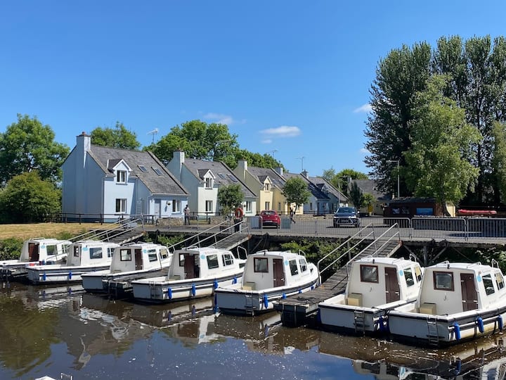 Embanked enclosureFairy fort / stone ringfort · 1.6 mi
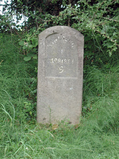 milestone/milepostmilestone/milepost · 1.7 mi
 InisheherIslet · 1.9 mi
 Rosfriar PointHeadland · 2.0 mi
 Conwal NorthMountain / peak · 2.1 mi
 Lareen BayBay · 2.2 mi
 InishmeanIslet · 2.3 mi