What is recorded here
Half a metre of peat smothers the chamber, but the flat slab still bridges the dark like a tongue pressing through teeth. The cairn stretches twenty metres across the plateau edge, waiting for someone to kick away the rot and discover what the pile protects. Glenaniff drops north into green shadow while Carn holds its breath above the valley, patient as a trap set before memory began.
At the N edge of a high plateau overlooking the Glenaniff valley to the N and buried in c. 1m of peat. A single flat slab (dims 1.7m x 1m; T 0.4m) rests on a buried stone pile within a subrectangular cairn (dims 20.5m NNE-SSW; 8m WNW-ESE; H c. 1m). No kerbstones can be distinguished.
The above description is derived from 'The Archaeological Inventory of County Leitrim' compiled by Michael J. Moore (Dublin: Stationery Office, 2003). In certain instances the entries have been revised and updated in the light of recent research.
Date of upload: 23 September 2008
Portal dolmen; likely dates to the Neolithic or early Bronze Age. Its position on a high plateau suggests ritual or ceremonial significance, common for such monuments in landscape contexts.
The monument record does not grant public access. Check the route and ask the landowner before entering private land.
- What survives
- Recorded monument
Places near here
 IndicatedEnclosure · 1480 yd
 Agow TopMountain / peak · 1.1 mi
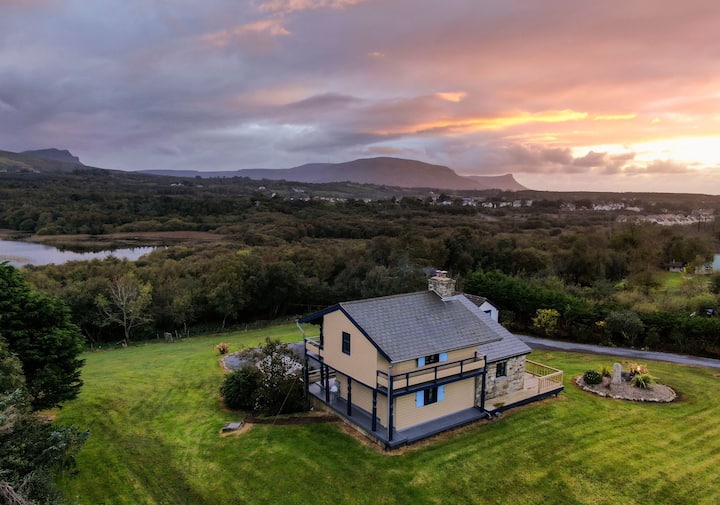 Enclosure in LissiniskaEnclosure · 1.3 mi
 Conwal NorthMountain / peak · 1.6 mi
 Giant's GraveArchaeological place · 1.8 mi
 Fowley's FallsPicnic place · 2.4 mi
 Church in DerrynahimmirkChurch · 3.0 mi
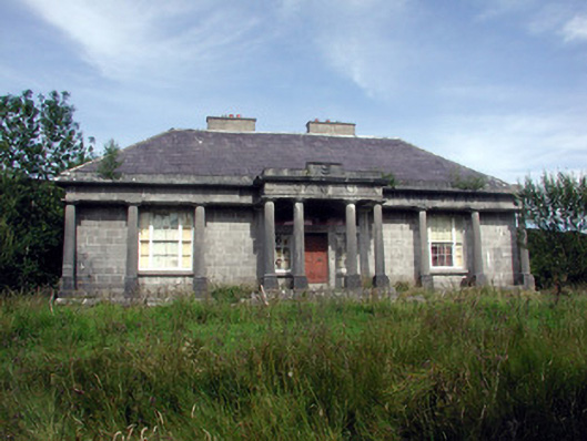 Glenade Housecountry house · 3.1 mi
 Kilroosk RockNamed rock · 3.4 mi
 Ross PointHeadland · 3.4 mi
 InishtempleIslet · 3.5 mi
 InishmeanIslet · 3.8 mi