What is recorded here
On flat grassland with good views in all directions, no surface remains visible of any enclosure in area marked on six inch OS 6-inch map. Depicted as semi-circular-shaped enclosure (diam. c. 17m) on 1st (1840) ed. OS 6-inch map. It is depicted in more detail on the 25-inch OS map as a circular raised area surrounded by a fosse (diam. 12m). This depiction suggests the monument is a barrow, possibly a ring-barrow, but as an outer bank is not depicted it is classified as a possible ditch barrow.
Compiled by: Jean Farrelly
Date of revised upload: 27 May 2015
The monument record does not grant public access. Check the route and ask the landowner before entering private land.
- What survives
- Recorded monument
Places near here
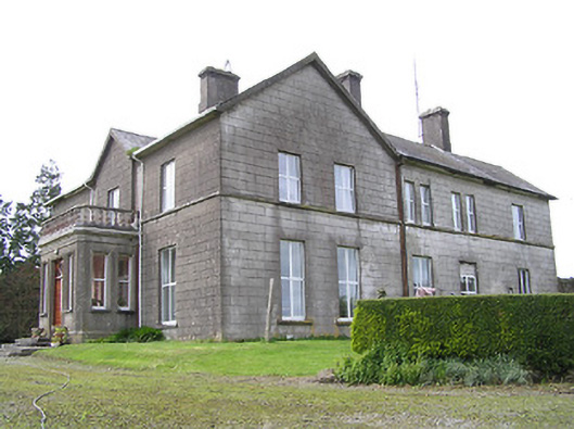 Coalbrook Housecountry house · 1171 yd
 Mellisson CastleCastle, tower house · 1586 yd
 Knockaun FortArchaeological place · 1.0 mi
 IndicatedFairy fort / earthen ringfort · 1.1 mi
 Bregaun HillMountain / peak · 1.2 mi
 Littlefield Housecountry house · 1.2 mi
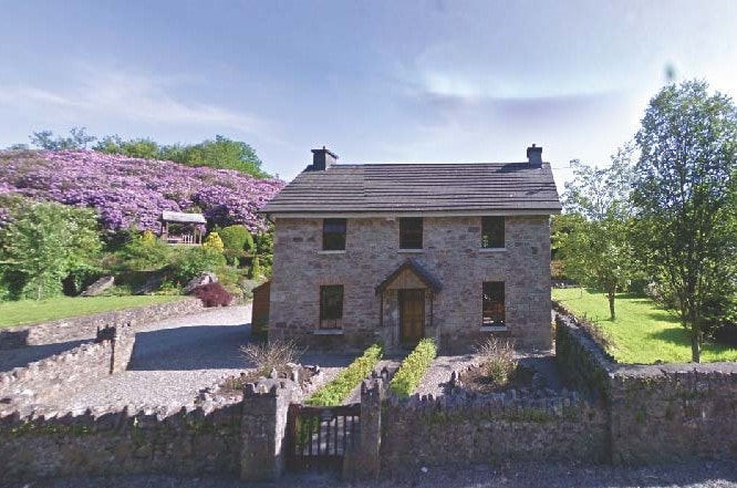 CastleCastle, unclassified · 1.3 mi
 Rapefield WoodForest · 2.9 mi
 Warhouse HillMountain / peak · 3.0 mi
 Kilcooly AbbeyHeritage attraction · 3.1 mi
 Deerpark WoodWood · 3.3 mi
 Derrynaflan TrailHeritage attraction · 4.7 mi