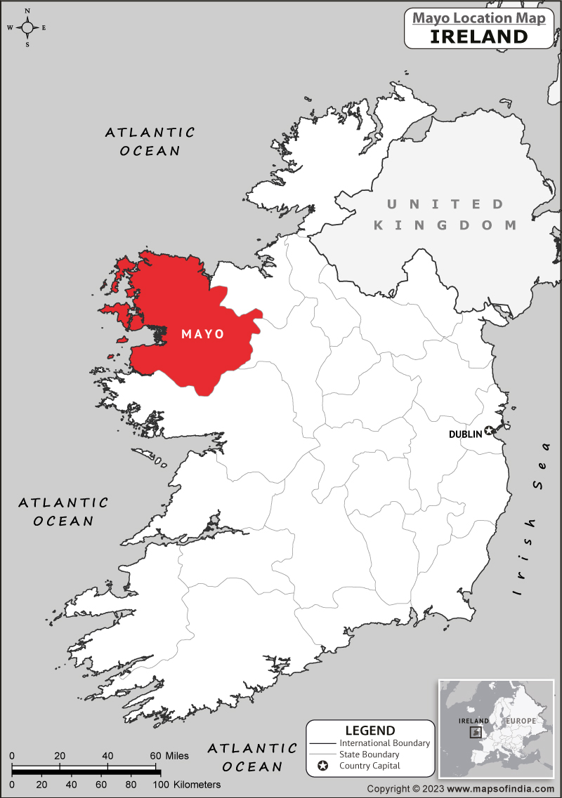
What is recorded here
In improved pasture, straddling a low rise at the base of the W-facing slope of a ridge. A tract of bog lies 200m to W.
Broadly oval raised area (c. 40m E–W; 32m N–S) enclosed by a compact, stony earthen bank (Wth 6-6.4m; int. H 0.4-0.8m; ext. H 1m at S, 1.8m at NW). The bank has a relatively low internal rim and a broad, well defined external slope, most pronounced on the NW side where there is a steeper natural fall of ground. Large stones and boulders are evident along the top and sides of the bank, and may be the result of field clearance. A markedly low area (Wth c. 2m) in the bank at ENE may indicate the location of an original entrance, but does not constitute a clearly defined gap.
In the N half of the level interior there is a low mound (5.6m NW–SE; 4.4m NE–SW; H 0.5m) of earth and stones; it does not appear to have any structure and is probably a field clearance heap.
The perimeter of the rath is ringed with hawthorn and hazel, which also encroach on the interior. The centre of the interior is obscured by a dense thicket of blackthorn and brambles. Immediately outside the rath at NW there is a depression (diam. c. 5m), possibly an old quarry pit, which is partly infilled with stones and debris, and largely obscured by blackthorn scrub and brambles. Another rath (MA039-092----) is located c. 200m to E on top of the ridge.
Compiled by: Jane O’Shaughnessy
Date of upload: 1 April 2020
The monument record does not grant public access. Check the route and ask the landowner before entering private land.
- What survives
- Recorded monument
Places near here
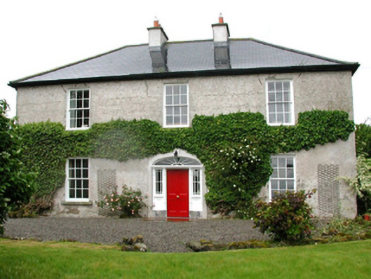 Barnfield Housefarm house · 874 yd
 Enclosure in CorroyEnclosure · 999 yd
 Gull IslandIslet · 1564 yd
 Cloghans CastleCastle, tower house · 1.0 mi
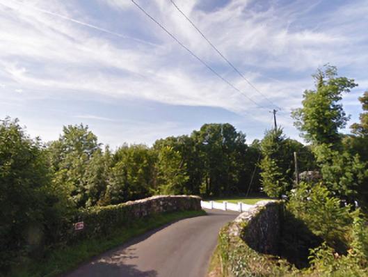 bridgebridge · 1.1 mi
 Castle (in ruins)Castle, unclassified · 1.2 mi
 RathnaathenonFairy fort / earthen ringfort · 1.5 mi
 Roe IslandIslet · 4.0 mi
 Battle of Ballinabattle · 4.2 miHumbert MonumentMemorial · 4.4 mi
 Drummin ForestForest · 4.8 mi
 Lough CullinViewpoint · 4.9 mi
Other information
Photo: Credit not shown in the picture search · Rights wording not checked; contact us if this picture should be removed