What is recorded here
The fairy fort or earthen ringfort in Gortaknockeare is in County Tipperary, Ireland. It occupies a gentle north-facing pasture slope, forming a circular area roughly 28 metres north to south and 30 metres east to west. An earthen bank, 3.4 metres wide and rising 1.5 metres externally, circles the site from east through south and west to east-northeast, leaving a possible 4-metre entrance at the east. Trees cover most of the bank, but erosion exposes the exterior at the east-northeast, while a standing stone marks the northwestern edge of the surrounding ditch.
In pasture, on a gentle N-facing slope. Circular area (dims. c. 28m N-S; c. 30m E-W) defined by earthen bank (Wth 3.4m; int. H 0.65m; ext. H 1.5m) E-S-W-ENE. Possible entrance (Wth c. 4m) at E. Bank covered in trees and overgrowth on interior and exterior except eroded area on exterior at ENE. Interior in lush pasture and tends downslope to N. Standing stone (TS067-054001-) at edge of fosse to NW.
Compiled by: Jean Farrelly
Date of upload: 26 August 2011
The monument record does not grant public access. Check the route and ask the landowner before entering private land.
- What survives
- Recorded monument
Places near here
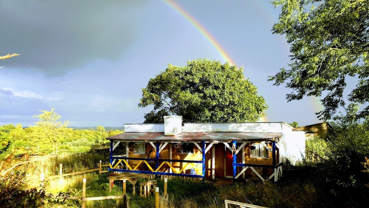 Enclosure in Ballyglass Lower (clonpet Par.),ballyglass Lower (cordangan Par.)Enclosure · 870 yd
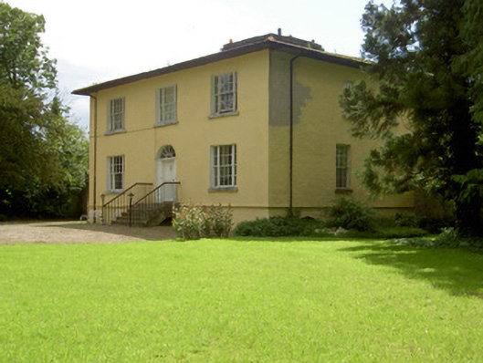 Brookville Househouse · 873 yd
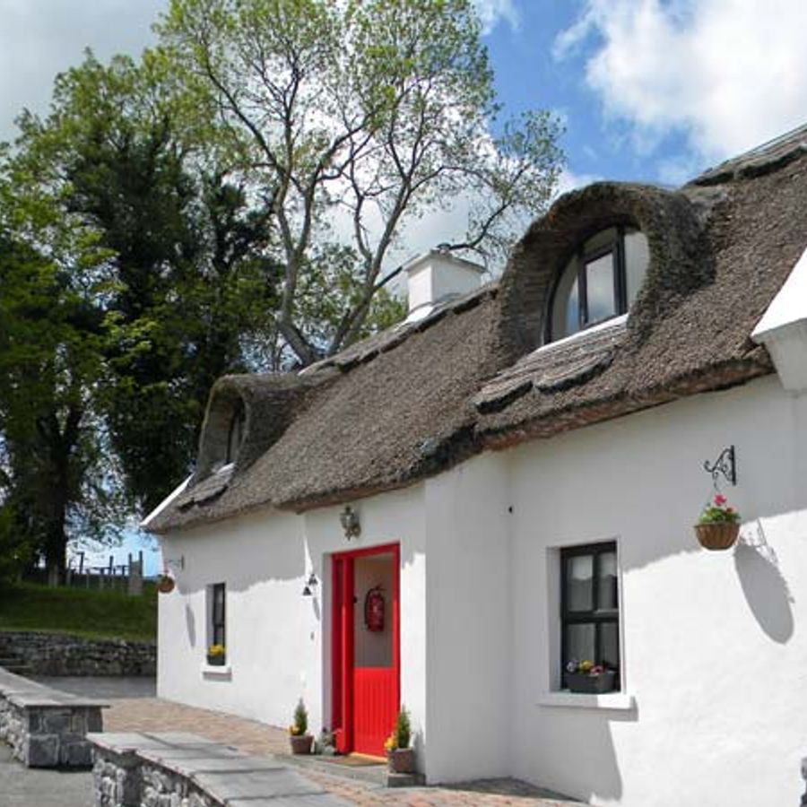 Enclosure in Ballyglass Upper (clonpet Par.)Enclosure · 912 yd
 The RockViewpoint · 943 yd
 Cordangan Castle ruinsCastle · 1030 yd
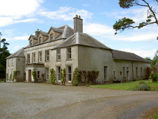 Cordangan Manorcountry house · 1258 yd
 Breansha Castle ruinsCastle · 1.1 mi
 Christ the KingViewpoint · 1.2 mi
 Glen of AherlowViewpoint · 1.3 mi
 Bansha ForestForest · 1.6 mi
 The Maid of ErinMemorial · 2.0 mi
 I.R.A. 3rd. Tipperary Brigade MemorialMemorial · 2.2 mi