What is recorded here
Archaeological excavation by Deborah Sutton and Tony Cummins (05E0626) revealed 'a kidney-shaped spread of heat-shattered sandstone mixed with charcoal-enriched soil (4.3m north-west/south-east by 1.7m) directly overlying a naturally occurring grey clay subsoil. The small size of the deposit suggests single or short-term use.' This description is posted on the web at the following internet address (accessed 3 August 2012): http://www.excavations.ie/
Compiled by: Denis Power
Date of Upload: 3 August 2012
The monument record does not grant public access. Check the route and ask the landowner before entering private land.
- What survives
- Recorded monument
Places near here
 Moneymohill National Schoolschool · 788 yd
 Burying GroundBurial ground · 896 yd
 bridgebridge · 992 yd
 Kyleroe Fort - HachuredFairy fort / earthen ringfort · 1201 yd
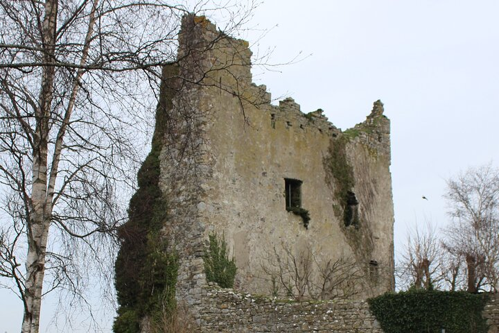
 Shanid Castle (in ruins)Castle, Anglo-Norman masonry castle · 1.5 mi
 Shanid CastleCastle · 1.5 mi
 TobercloonaghSpring · 3.6 mi
 Prospect HillMountain / peak · 4.3 mi
 St. Luke's WellSpring · 4.5 mi
 Monterey CypressMonterey Cypress · 4.6 mi
 Foynes Flying Boat & Maritime MuseumMuseum · 5.2 mi
 Limerick GreenwayWalking route · 5.7 mi